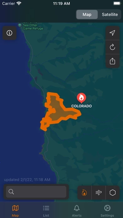
Firespot Overview
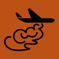
These satellites scan the planet surface, recording radiation data across different bands and processing that data to determine likely fires.
Satellite fire detection is a cutting-edge technology which can serve as an early warning system for new wildfires, especially ones that start in remote areas where human detection may be delayed.
Official Screenshots


Product Details and Description of
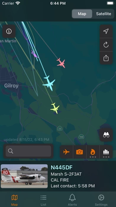
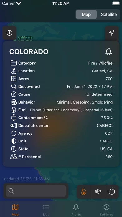
this app is the most complete source of wildfire information. - Perimeters and fire status - Aircraft tracking - Satellite images - Wind - Air quality - Red flag warnings - Satellite-detected fires - Satellite climatological data: vegetation, moisture, etc. this app subscribers can activate Alerts to receive notifications on important fire-related events. Set one or multiple areas to monitor, and this app will pop an alert on your phone when an important change happens. FREE TIER: Use the map, view all fires and red flag warnings. PAID TIER: Customized alerts, get notifications on your device, access all satellite images, see real-time firefighting aircraft tracking. this app is not meant as a replacement for local evacuation alerts and information. Privacy Policy: https://www.firespotapp.com/privacy Terms of Use: https://www.firespotapp.com/terms
Top Reviews
By jklhyd
Easy to use
App is easy to use. Shows fire perimeter without having to tap on the fire location/name. Shows wind direction and intensity which helps get an idea of what the smoke might be like in my area. So far seems like the easiest fire app I’ve tried.
By SF Bay Area resident
Helps my nerves
Gives real insight in real time, into a situation where extra time can make all the difference. Thank you for giving us the insight I felt lost without! I’m sleeping better now that I can easily check the locations of fires in my area.
By Sage131
Lots of information plus it’s easy to use
This app offers a near-perfect balance of comprehensive information and ease of navigation. A useful app for people who live near fire zones or are planning backcountry travel, especially in the Pacific Northwest.