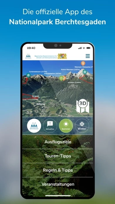
Whether a guided tour into the realm of the marmots, a cross-border hike on old smuggler paths into the Austrian nature park Weißbach or a walk with the ranger - the national park app conveys a fascinating educational program and supports a fantastic adventure experience.
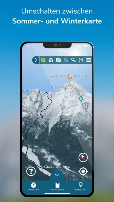
With this app, Germany's only Alpine National Park becomes a unique experience: 10 selected excursion destinations, 38 tour tips, from hiking tours to bike, snowshoe, ski to barrier-free tours.
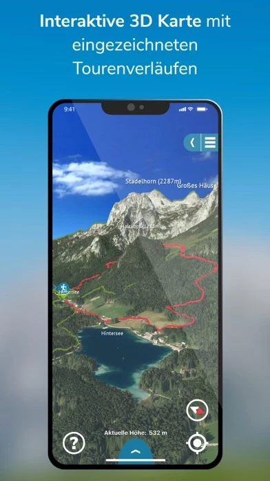
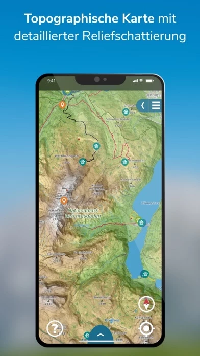
Experience, understand, protect: Up to 1.6 million visitors a year can now experience the Berchtesgaden National Park with a detailed 3D map.
In addition, there are many tips on how to behave in the large protected area, as well as several webcams that offer up-to-the-minute pictures of the national park.
Since there is not cellular reception in all areas of the Berchtesgaden National Park, the app is prepared for offline mode.


