- Free download
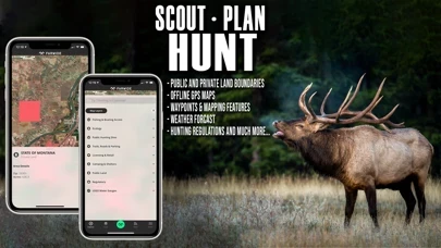
- Aerial view spot locator with GPS-based satellite imagery
- Web maps for scouting at home and syncing with mobile devices
- Satellite and topographic maps with GPS navigation
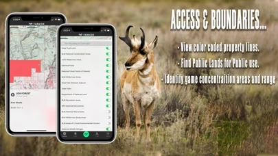
- Nationwide hunting and fishing access across public and private lands
- Hunting seasons, regulations, licenses, and harvest data and boundaries by all species across individual states
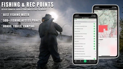
- Fishing locations, regulations, licenses, and water gauges with rankings by water fishing quality and species breakdown
- Private land boundary, owner name, and address for all 50 states
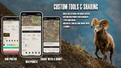
- Customizable waypoints to navigate back to fishing access points, basecamps, or hunt stands
- Add notes and photos for favorite hunting and fishing spots and experiences
- Create and save offline maps to use in remote locations
- Share maps with others for free
- Create search collections of saved hunt maps, access, and information
- Turn-by-turn navigation and directions to access points
- Trailheads and trails, campsite locations, license agents, hunting check stations, shooting ranges, boat ramps, fish attractors, wildlife habitat, historical fires and timber harvests, GPS public hunting sites, fishing and boating access, hunting management zones, game migration zones, and wintering.


