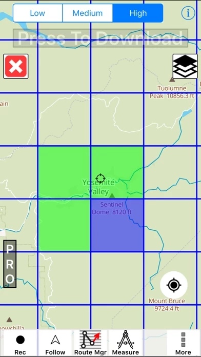
- Topo trail maps can be downloaded for offline use
- Recording tracks is easy and efficient
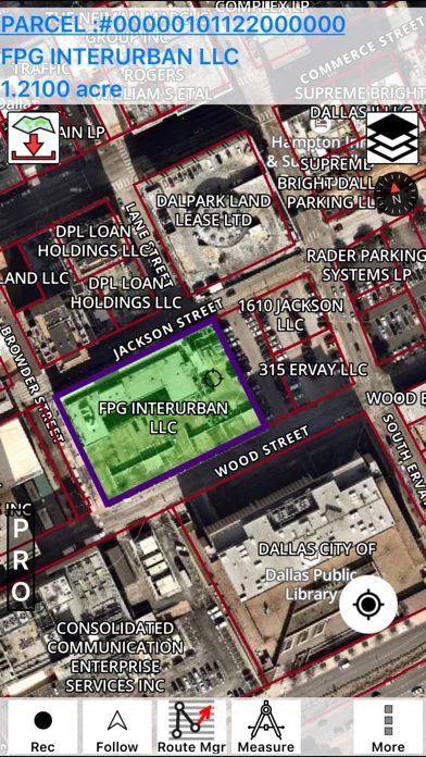
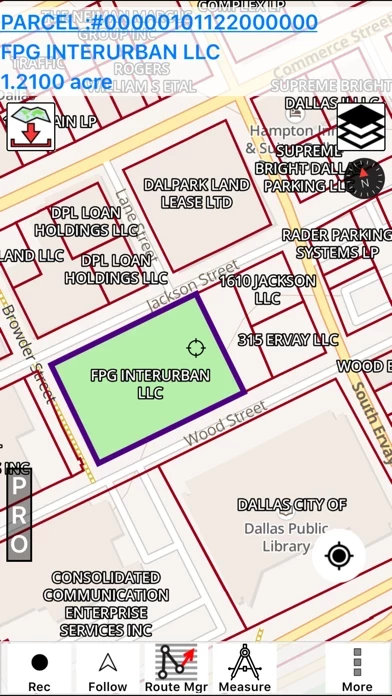
- Includes land maps with property line and ownership info
- Parcel boundaries are highlighted and ownership info appears on top
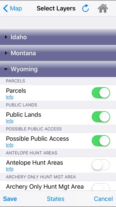
- Includes tons of layers and WMA boundaries that are easy to customize as a map overlay
- Ability to change elevation unit from feet to meter
- Shows unmarked trails and fire roads
- Quick switching between layers helps find new spots with knowing if it's public or private access
- Property lines are clearly drawn and highlight when put under map cursor
- Shows accurate property boundaries
- Very helpful for hunting and discharge practice with firearms on one's own property
- Free app with many features


