SSEC Overview
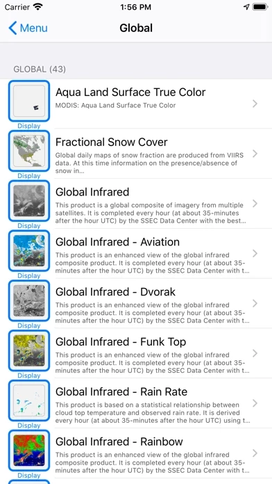
These products include global and regional remotely sensed atmospheric, terrestrial, and oceanographic imagery, observations of local meteorological parameters and short-range predictions of future conditions.
RealEarth provides access to real-time imagery and data products hosted by the University of Wisconsin - Madison Space Science and Engineering Center (SSEC) and others.
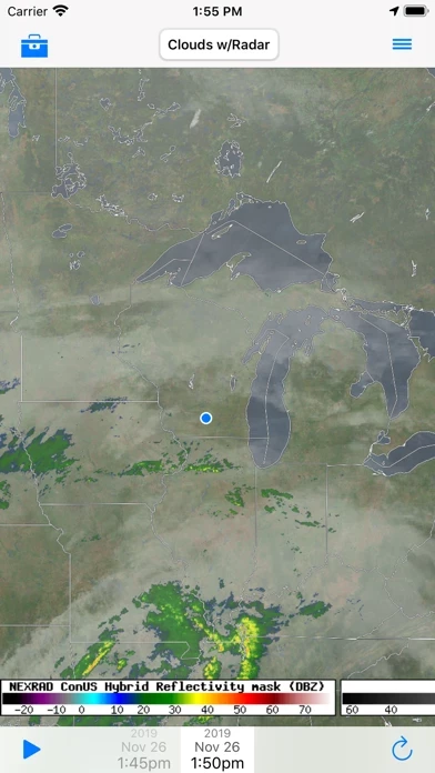
Official Screenshots
Product Details and Description of
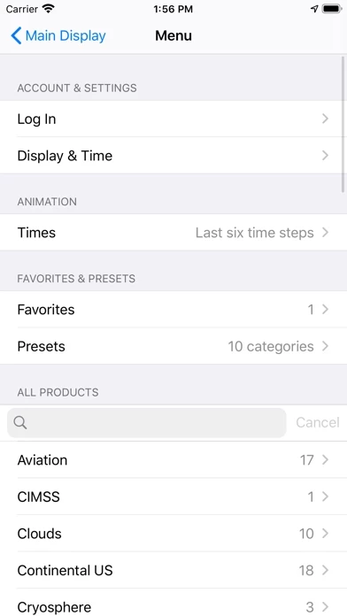
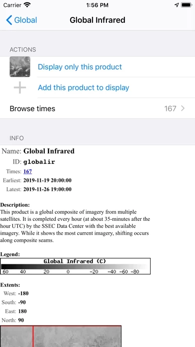
RealEarth provides access to real-time imagery and data products hosted by the University of Wisconsin - Madison Space Science and Engineering Center (this app) and others. These products include global and regional remotely sensed atmospheric, terrestrial, and oceanographic imagery, observations of local meteorological parameters and short-range predictions of future conditions. - Select products to display by category, name, and time - Pan and zoom map interface dynamically - Display current location on map - Adjust transparency and composite multiple layers - Animate by relative or absolute time steps - Save custom favorites - Probe data values
Top Reviews
By Adiaz84
Best weather app for tracking the past storms and feature storms
Good app but needs updating for changing time and date it gets buggy and crashes would like to look at past hurricanes!
By Whittier Weather Service
Nice App
Nice app just remember to select the product from the right hand menu
By Seattle Rex
Best satellite app for iOS
Looks awesome on iPad pro