SSEC Présentation
These products include global and regional remotely sensed atmospheric, terrestrial, and oceanographic imagery, observations of local meteorological parameters and short-range predictions of future conditions.
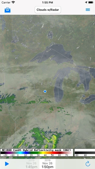
RealEarth provides access to real-time imagery and data products hosted by the University of Wisconsin - Madison Space Science and Engineering Center (SSEC) and others.
Captures d'écran officielles
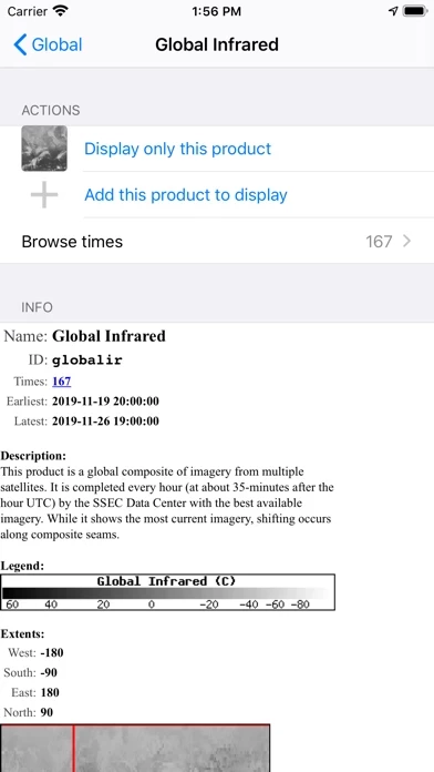
Détails du produit et description de
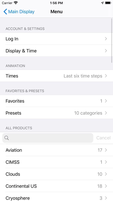
RealEarth provides access to real-time imagery and data products hosted by the University of Wisconsin - Madison Space Science and Engineering Center (l’application) and others. These products include global and regional remotely sensed atmospheric, terrestrial, and oceanographic imagery, observations of local meteorological parameters and short-range predictions of future conditions. - Select products to display by category, name, and time - Pan and zoom map interface dynamically - Display current location on map - Adjust transparency and composite multiple layers - Animate by relative or absolute time steps - Save custom favorites - Probe data values