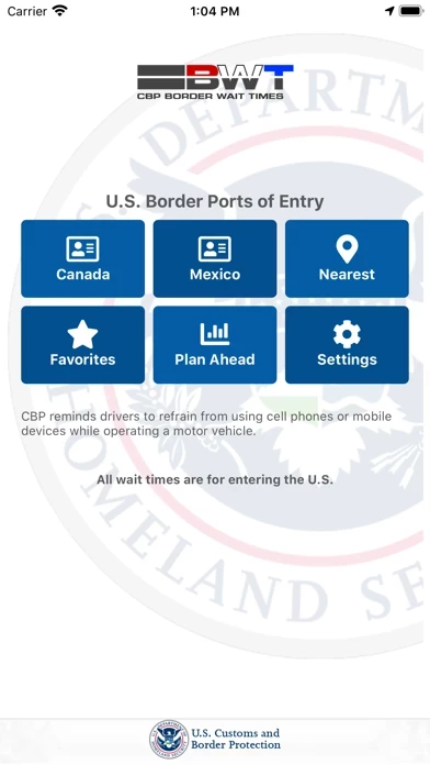
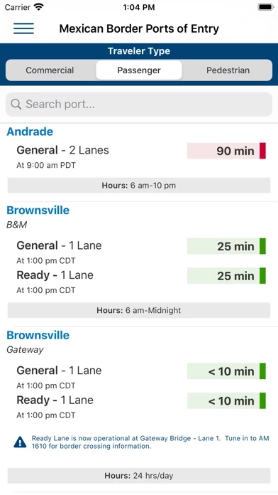
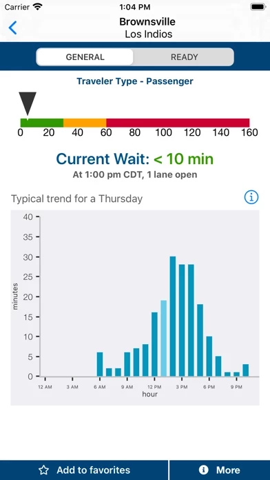
BWT -APP- has current wait times and historic usage wait graphs (still showing non-covid wait times).
BWT -WEB- has current wait times, near term historic wait times (showed covid times), summary of crossing waits near each other (eg Niagara), some real-time camera views, and a bit more location info.
Both are geared toward frequent crossers.
If you are an infrequent crosser, both are really lacking in location info. Except in a few cases, you cant even tell what state the crossing is in or its location. Look up the name beforehand - warning: it may have multiple names, but BWT only uses one. Even a general map would be useful, the ability to list by state, or just the state listed near the name. Being able to quickly choose alternatives crossings would help.
Even without that, the data is accurate and not hard, but not quick if the crossings are new to you. Just a bit too much unnecessary goofing around when tiny changes would help.