- Optimized for both iPhone and iPad use
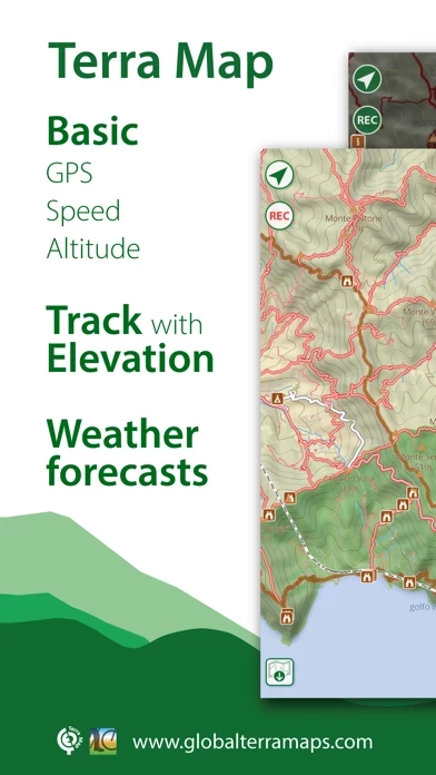
- Clear maps with elevation contours, trails, huts, parks, etc.
- Easy-to-use user interface
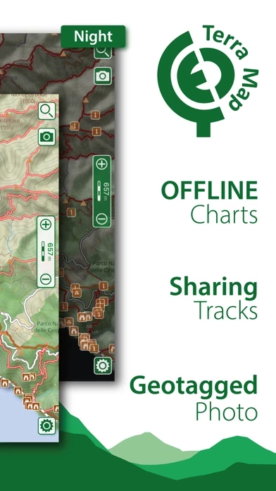
- Maps can be downloaded for free and used without an internet connection
- Topo Maps for US, Canada, Europe, South America, Asia, Africa, Oceania
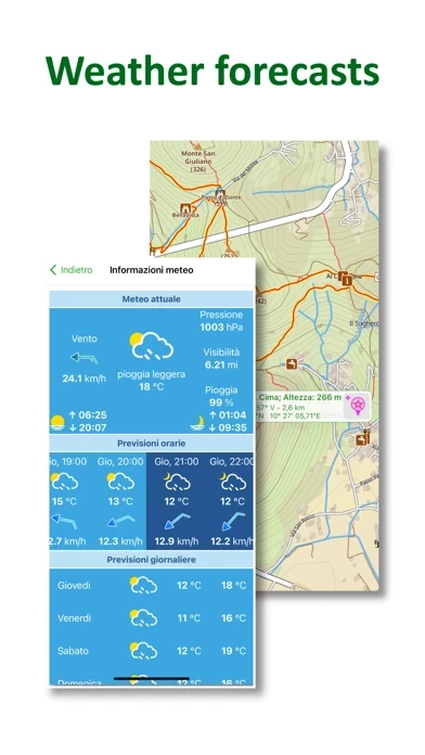
- Access to the latest weather forecasts for all points on the map
- Live sharing function to connect with friends
- Ability to share tracks, tours, markers, and photos in various formats
- Satellite images can be added as an overlay of the map
- Optimized battery usage with battery monitoring
- Tracks can be stored without the need for cellular data or phone signal
- Different map colorings can be switched between
- Marker's icon and Track's color can be customized
- Distances can be measured on the map
- Any track, tour, and marker can be loaded from internet communities
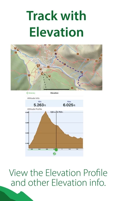
- Graph of the elevation profile and speed for each track
- World places can be searched by name
- Weather forecast for the next 7 days can be obtained for any point on the map (PRO mode must be activated)
- Exchange of data with the Aqua Map community and following favorite users on the screen
- GPS track can be recorded while the app is in the background and while the device is locked
- Unlimited and subscription type of purchases available.


