Terrain Radar Altimeter Reviews
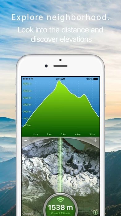
Published by Nestele Engineering on 2024-01-08 About: Measure the elevation of each location within a radius of 500 meter. With
Terrain Radar Altimeter you can discover the height of hills in front of you or
take a look at further away mountains.