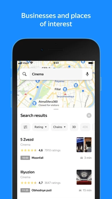
- Largest organization database and filters to refine search
- Detailed information about organizations: contacts, hours of operation, services provided, photos, and reviews
- Floor plans to find your way around major shopping malls
- Search for places and addresses without an internet connection (offline maps)
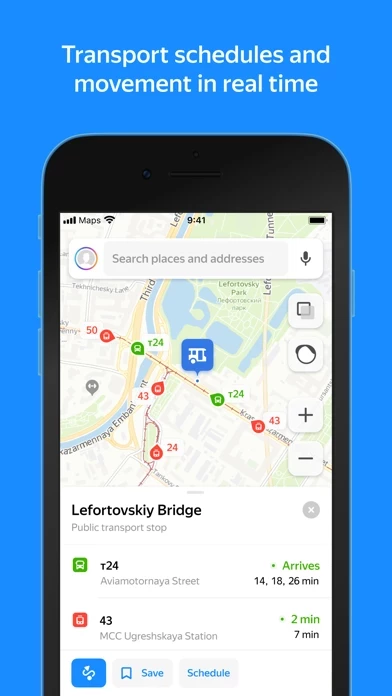
- Real-time location of buses, trams, trolleybuses, and minibuses
- Road maps that show current traffic conditions in the city
- Parking layer with the location and cost of official parking
- Street panoramas for a road-side view of any address
- Choose from three map types: Roadmap, Satellite, and Hybrid
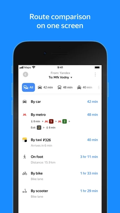
- Pedestrian navigation: paths between buildings, through parks, across squares, and other pedestrian zones
- Bike navigation: road types, underpass and overpass preferences, and highway warnings
- Public transport routes with timetables and estimated time of arrival
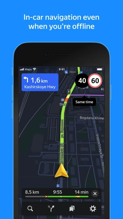
- Optimal driving routes based on live traffic conditions and driving options
- Step-by-step instructions with voice navigation
- Speed camera, speed limit, and speeding notifications
- Real-time updates on traffic, road accidents, speed radar, and more
- Offline maps with driving routes and voice navigation
- Downloadable lightweight maps (minimum storage space)
- Database of organizations with hours of operation, services provided, and more
- Over 2000 cities in Russia, Armenia, Belarus, Georgia, Kazakhstan, Latvia, Turkey, Ukraine, and Estonia
- Mark road events on the map and comment on user submissions
- Regular updates to the Public Map keep you informed about your city
- Write reviews, upload photos, and update information about organizations
- Apple Watch app to navigate the map, view the nearest metro station and public transport stops, find out when public transport will arrive at a nearby stop, track traffic patterns a few hours ahead of time, and view weather forecasts.


