Got a GPX file of an awesome hiking trail from a friend or other source? Import it to HiiKER and make your own edits to the route before hitting the trail.
We partner with trail organisations, such as the Bibulmunn Track, The Te Araroa, The Larapinta trail, The Pacific Crest Trail, The South west Coast Path and National parks and other trusted sources around the world to bring you the most up-to-date and official trail data available.
With HiiKER PRO you can download all your favourite hiking trails to your phone to use offline - even in airplane mode.
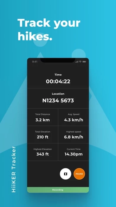
The HiiKER GPS Tracker records your hiking activity and gives you in-depth detail about your walks that you can share with your adventure crew.
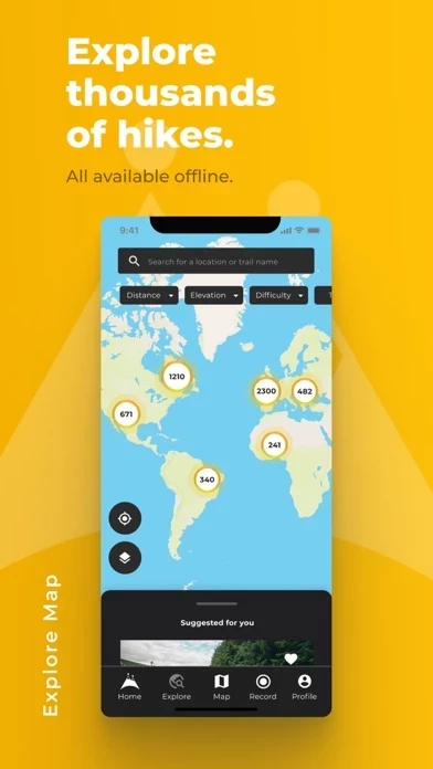
With HiiKER, you can discover one of over 30,000 of the world’s best hiking, thruhiking, walking and backpacking trails right from your smartphone.
The HiiKER Trail Planner will enable you to blaze your own trail and plan a custom hike.
Export GPX files of one of the thousands of hiking trails on HiiKER.
This gets you ready for any change in elevation gain/loss and allows you to know how much time the section of the hiking trail will take.
While exploring the map, use our handy measurement tool to know what distance, terrain and elevation lie ahead on your hiking trail.
HiiKER is the hiking app that is dedicated to building tools specifically for the hiking community.
Plan ahead with the perfect lunch spot, campsite, resupply town or maybe even a 5-star hotel on your hiking trip.
You’ll find the trail that’s right for you with our powerful search tool.
Sync them with your other gps devices, such as Garmin Smartwatches, Garmin navigation devices, Coros watches, Suunto watches and many other navigation devices that support GPX, KML and GEOJSON files.
Heading out on the End to End Trail? Or the West Highland Way? Maybe you’re bagging Munros or Wainwrights.