Mgrs Utm Map Overview
It is also a complete helper for mountaineering, trekking and hiking, cross running, scouting, hunting, fishing, geocaching, off-road navigation and all other outdoor activities and sports.
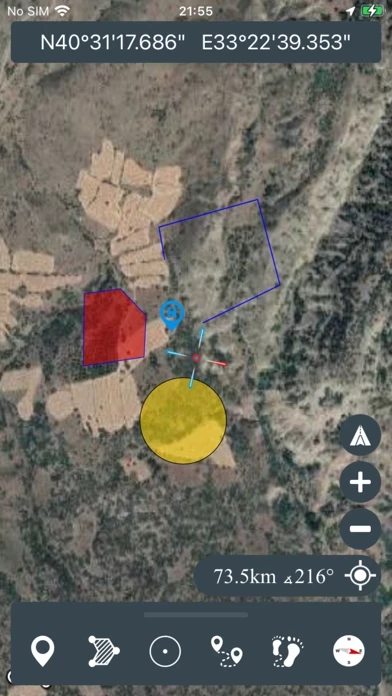
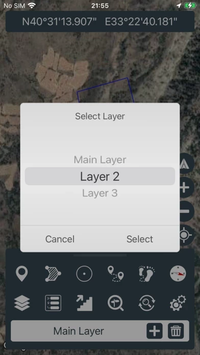
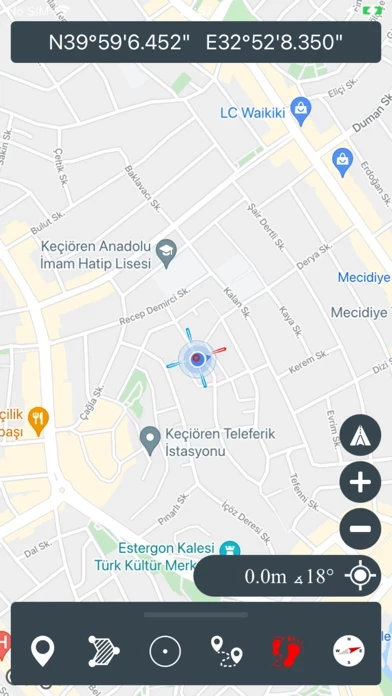
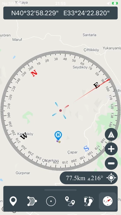
With satellite navigation systems such as GPS, GALILEO and GLONASS (GNSS) supported by your device and your sensors, you can see your most accurate position on different map layers.
Official Screenshots
Product Details and Description of
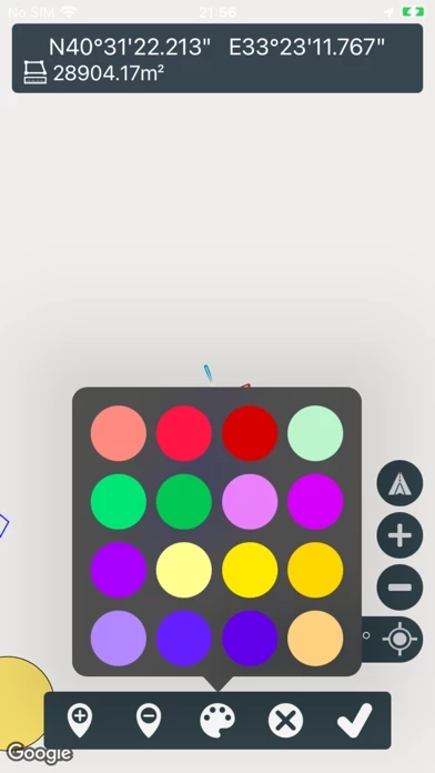
This application is GPS and coordinate systems helper especially for military personnel. It is also a complete helper for mountaineering, trekking and hiking, cross running, scouting, hunting, fishing, geocaching, off-road navigation and all other outdoor activities and sports. With satellite navigation systems such as GPS, GALILEO and GLONASS (GNSS) supported by your device and your sensors, you can see your most accurate position on different map layers. *Import/Export KML
Top Reviews
By Juash
Great value
Surprisingly powerful and accurate for a free app.
By Friskelm
Nice job on the app
Very nice and useful app I would like to see DD MM.mm format added
By PJJames37
Lack of Saving Feature/No Pro
Downloaded this app to work with a project partner who has the android version of the app. Does not allow me to save any KML he tries to share. Also, he paid for pro version, I do not have that option (no four square menu button in bottom right part of app). I have iPhone XS with most updated version.