Mgrs Utm Map Présentation
It is also a complete helper for mountaineering, trekking and hiking, cross running, scouting, hunting, fishing, geocaching, off-road navigation and all other outdoor activities and sports.
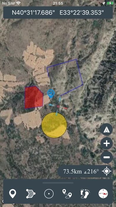
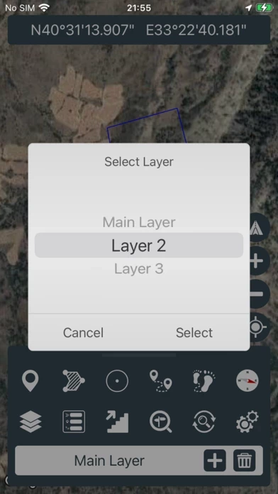
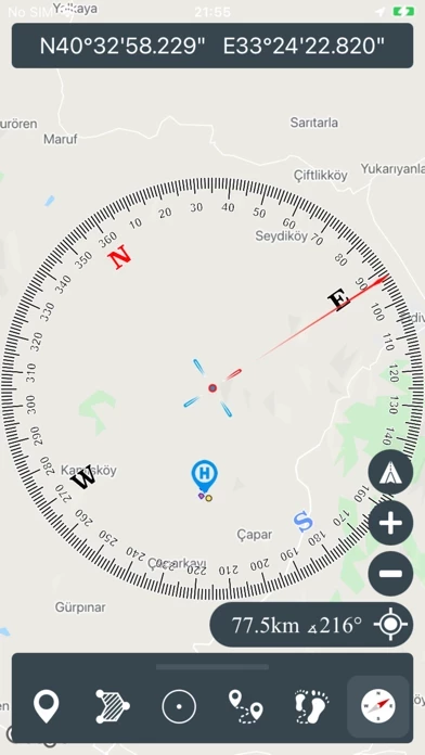
With satellite navigation systems such as GPS, GALILEO and GLONASS (GNSS) supported by your device and your sensors, you can see your most accurate position on different map layers.
Captures d'écran officielles
Détails du produit et description de
This application is GPS and coordinate systems helper especially for military personnel. It is also a complete helper for mountaineering, trekking and hiking, cross running, scouting, hunting, fishing, geocaching, off-road navigation and all other outdoor activities and sports. With satellite navigation systems such as GPS, GALILEO and GLONASS (GNSS) supported by your device and your sensors, you can see your most accurate position on different map layers. *Import/Export KML
Haut Avis
Par OhMyJoker
PROBLÈME UTM
Mince, depuis la mise à jour, problème pour rentrer une adresse UTM. A chaque fois nous emmène dans l’océan. Vite un correctif!
Par RmBrs
Store maps offline ?
Is it possible to download maps/satt picture offline with the pro version ? (Tiles)