HEATmap Software
Company Name: PSP S.L.
About: Heatmaps is a lightweight iOS framework that tracks individual parts of user apps to collect taps,
gestures, and device interactions.
Headquarters: Warsaw, Mazowieckie, Poland.
HEATmap Overview
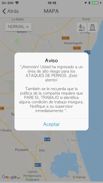
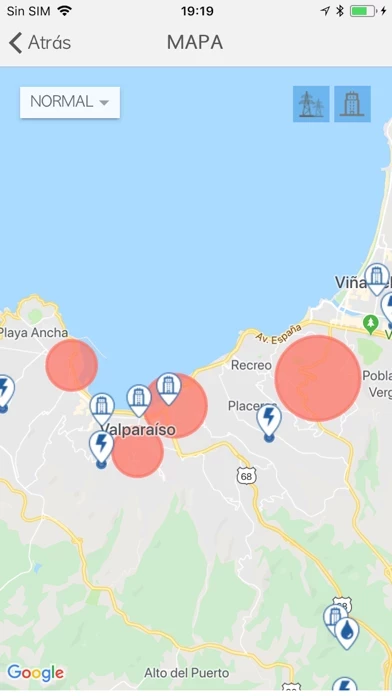
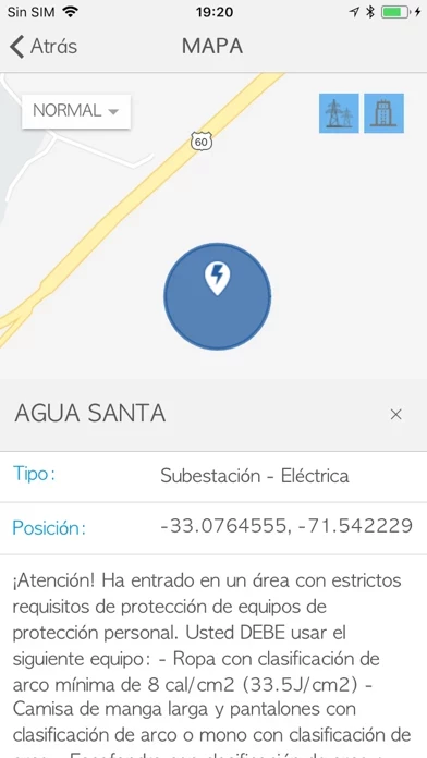
Features like heatmapping, filtering, and frequency rules allow you to manipulate your data points and highlight key areas of interest, such as zones of elevated risk.
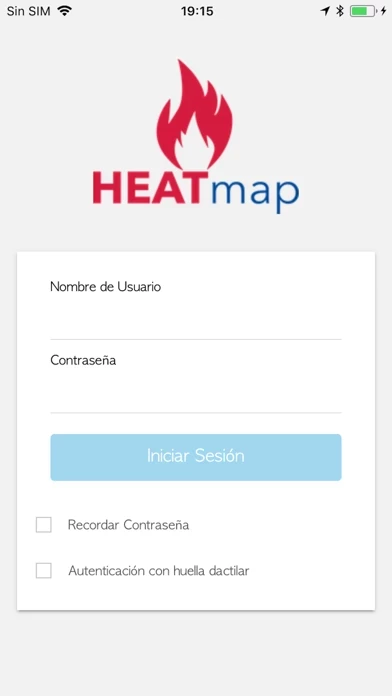
Official Screenshots

Product Details and Description of
Access Environmental, Health, and Safety (EHS) data in real-time. The this app application allows you to geographically display data for analysis. Features like heatmapping, filtering, and frequency rules allow you to manipulate your data points and highlight key areas of interest, such as zones of elevated risk. Download this app now and take your EHS management systems to the next level.
Top Reviews
By Goffyfooter
Invalid
Downloaded the heat map app, however it would not allow me in. It said I had invalid credentials, what does that mean?