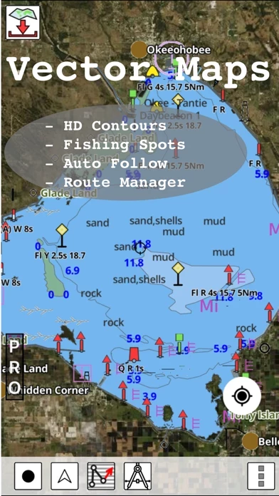
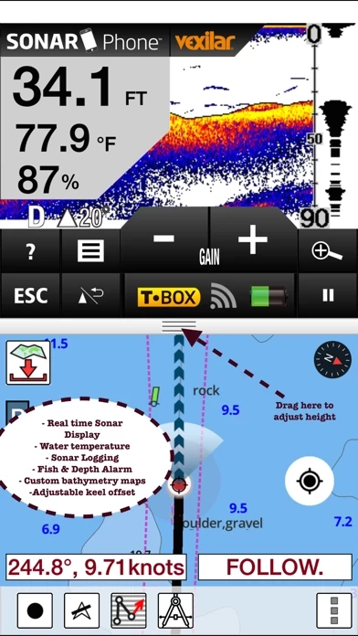
Coverage includes NOAA marine vector charts,freshwater lake maps,USACE inland river maps (HD/1ft/3ft bathymetry.
This App offers access to Fishing Lake Depth Maps & Marine Charts for USA, Canada (other regions coming soon).
β Long press to query the details of Marine object (Buoy,Lights,Obstruction etc).
β 1ft / 3ft depth contour maps for anglers for selected lake maps.
First marine GPS app to have route assistance with Voice Prompts for marine navigation.
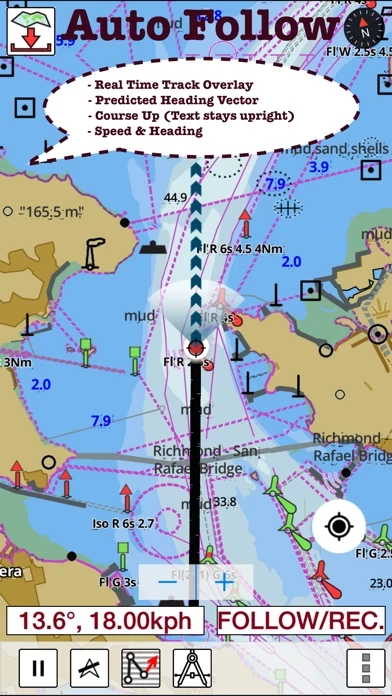
β Record tracks,Autofollow with real-time track overlay & predicted path vector.
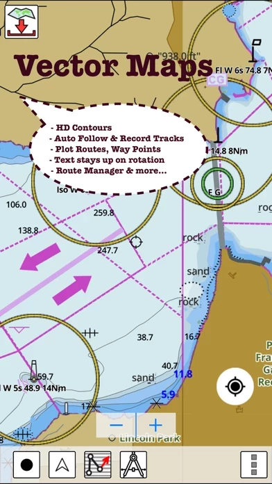
You can create new boating routes or import existing GPX/KML routes.
β Supports GPX/KML for boating route editing/import.
It supports Nautical Charts course up orientation.
PLEASE NOTE: Continued use of GPS running in the background can dramatically decrease battery life.
Includes Tide & Currents prediction.
* Export tracks/routes/markers as compressed GPX files.