- Offline maps powered by OpenStreetMap for 233 countries and regions
- 2D, 3D, and Satellite map views
- Detailed route information including surface, difficulty, distance, and elevation profile
- Points of interest information from Wikipedia articles
- Nearby parking spot suggestions
- Regular free map updates
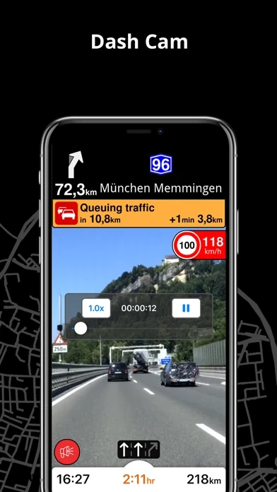
- AI dashcam with Driver Assistance warnings and Dash Cam functionality
- CarPlay compatibility
- Fastest or shortest route options for driving, biking, walking, and public transportation
- Multiple waypoints planning
- Head-up Display (HUD) feature for safe driving
- Precise turn-by-turn navigation and lane assistance
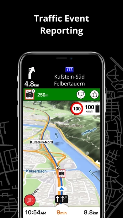
- Speed camera notifications and current speed limit information
- Real-time traffic info and alternative route suggestions
- Public transportation options including walking directions, transfer times, departure times, number of stops, and cost
- Wheelchair or bike-friendly public transportation options
- Local weather forecasts for favorite locations
- Privacy-first policy with no tracking, profiling, or trading of personal data.


