Sea Level Rise Software
Company Name: Concursive
About: Concursive Corporation is a privately held open source software development and solutions company.
Headquarters: Norfolk, Virginia, United States.
Sea Level Rise Overview
Sea Level Rise 2.0 is a major update which allows anyone in the world to begin mapping sea level rise! We started in Hampton Roads, Virginia and have learned from the mapping efforts of 1,000s of volunteers.
In this updated release you can start a regional group, schedule your own mapping events, and use GPS tools to contribute data points for weather and tide events.
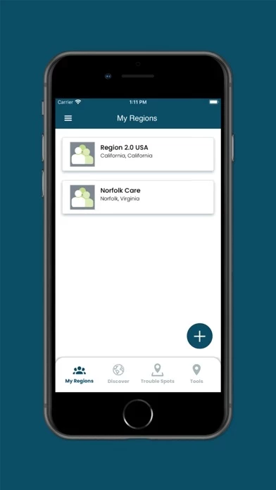
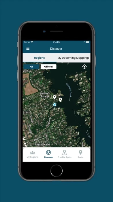
Official Screenshots


Product Details and Description of
The Sea Level Rise app allows anyone to map the flooding in their community, helping document sea level rise and other flooding impacts. While virtually everyone in and around a low-lying coastal region is or will be affected by sea level rise, we started our work in Hampton Roads, Virginia and have learned from the mapping efforts of thousands of volunteers during annual "Catch the King Tide" events. Developed by Wetlands Watch, this app moves us in the direction of being a better informed and connected community so we can stay ahead of sea level rise. Access user-submitted information about this global phenomena and participate (as a volunteer) in capturing the street-level data we need to better understand and solve the challenges it brings! With the app, you can: • Participate in crowd-sourcing events to capture the localized data researchers and civic leaders require, but lack • Find and add nearby "Trouble" spots where high water affects your travel during times of inclement weather • Capture and share photos that document what's occurring in your community • Access specific collaboration spaces, called regions, where you can manage volunteers and schedule mapping events
Top Reviews
By Czuque
Limited scope
You can’t look at other locations. I live in WV but want to look at “my island” in the Keys. I’m not there so I can’t configure it
By Pointofthought
Deceptive
App forces you to submit private information in order to register, then no email ever comes to confirm registration. Can’t open app.