511 Wisconsin Road Conditions Reviews
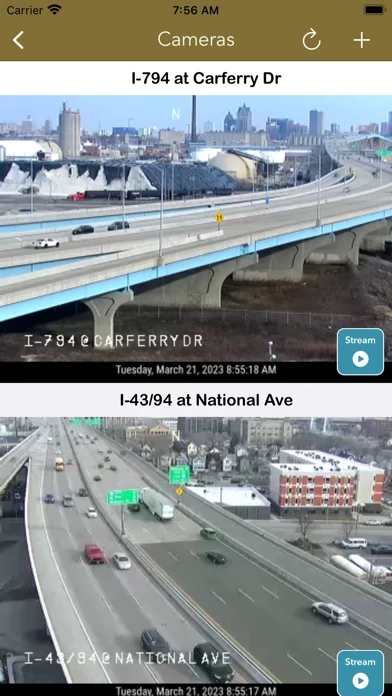
Published by LW Brands, LLC on 2025-01-23🏷️ About: The best way to view 511 Wisconsin CCTV traffic cameras. MAIN FEATURES INCLUDE: - Create custom camera groups - Quickly view all cameras on your route - Add camera widgets to your home screen - Live stream applicable cameras - View Wisconsin DOT & city cameras CREATE CUSTOM CCTV CAMERA GROUPS Create custom groups of cameras based on your frequented routes and then simply scroll through the list of images.