TREAD Map is a hyper-local trail mapping app built by outdoor enthusiasts in Washington State who understand what users want to know.
The official outdoor recreation app from State of Washington Tourism, brought to you in partnership with TREAD consulting and Dharma Maps.
Known for its expansive and varied trail system, the State of Washington has some of the most popular trials in the northwest, which can become seasonally overused.
TREAD Map is the perfect companion for those looking to recreate outdoors in the State of Washington.
Want to find a trail with fewer crowds? Looking for dog-friendly options? The TREAD Map has you covered.
TREAD Map is informed by local land managers and allows users to share observations with land managers.
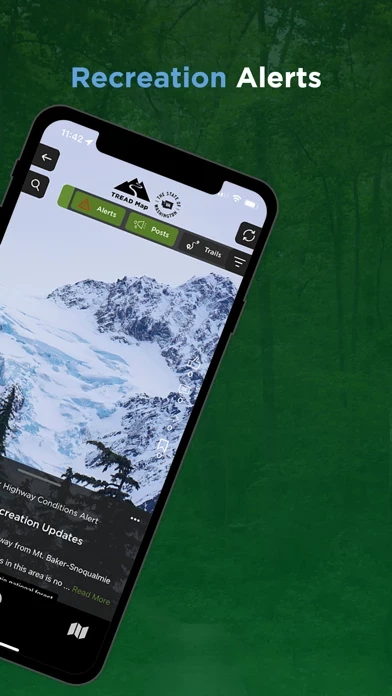
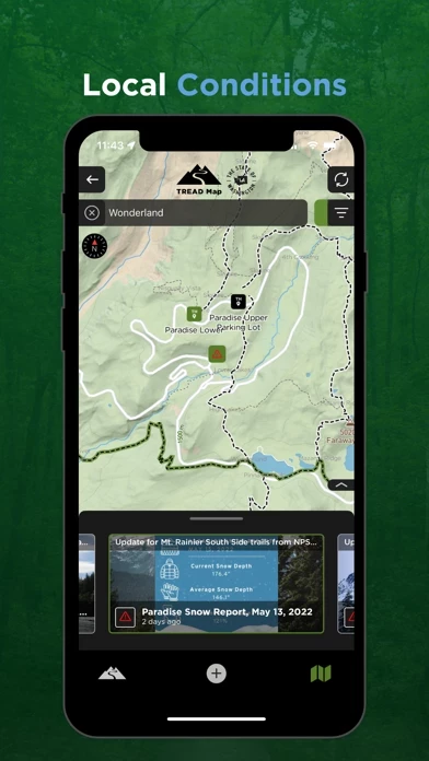
Is a tree down on the trail? Is the parking lot full? This app delivers real-time updates that alert users to current conditions.
It’s built for trail users by trail users and includes four-season, real-time updates.
The hyper-local content in the TREAD Map is provided by those who are out on the trails and waterways or managing the land.
TREAD Map is the only app in circulation with a triple bottom line approach of people, planet, and profits returned to the community.
Not in Washington? Contact us to learn more about TREAD Map in other states.
TREAD Map specializes in offering alternatives to popular trails so that you always know where to go.