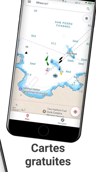
- Access to the latest C-MAP cartography for navigation
- High-resolution bathymetry charts covering thousands of great lakes and ocean locations
- Custom shading for a clear safety depth or custom view
- Thousands of points of interest, including ramps, harbors, and nearby fueling stations
- Satellite overlay for enhanced situational awareness on the water
- Real-time nautical weather forecasts with advanced weather forecasting and custom weather notifications
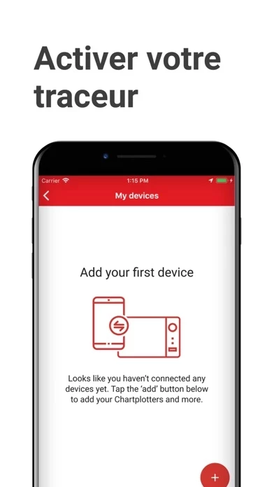
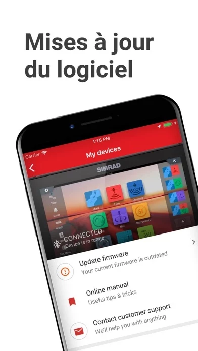
- Easy syncing with Simrad displays for planning and managing waypoints, routes, and tracks
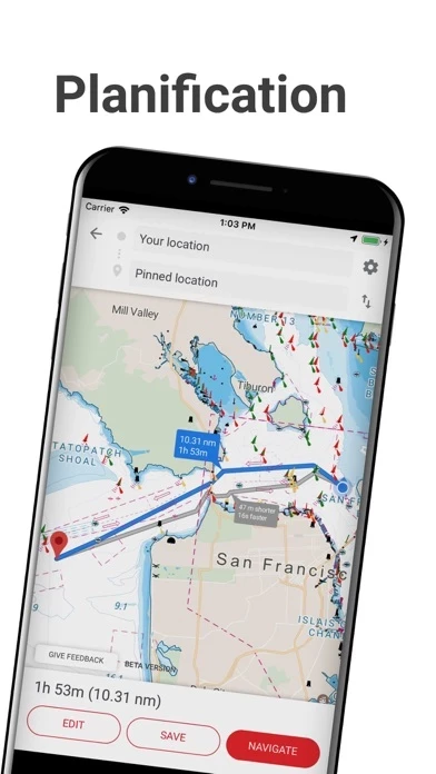
- Autorouting for planning, managing, and navigating trips with ease
- Free features include up-to-date C-MAP nautical charts, personal waypoints, routes, and tracks, manual and autorouting, measure distance tool, thousands of points of interest, nautical weather forecast, weather along the route, sharing tracks, referral, GPX import and export, map personalization, Simrad device registration and support, and mirroring and control
- Premium features include offline charts, real-time AIS, navigation data, traffic, high-resolution bathymetry charts, custom depth shading, shaded relief, anchor alerts, and satellite overlay
- Free 14-day premium trial available
- Compatible with GO5 XSE, GO7 XSR, GO9 XSE, GO12 XSE, NSS Evo3, NSS Evo3S, and NSX
- Subscription-based with automatic renewal unless turned off at least 24 hours before the end of the current period
- Links to privacy policy and terms of service provided.


