Navionics Reviews
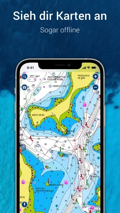
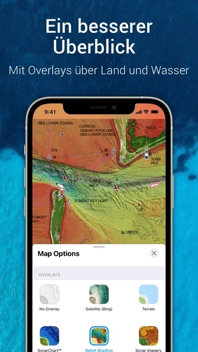
Published by NAVIONICS S.R.L. on 2026-04-27🏷️ About: The Boating app is a comprehensive package that provides up-to-date, detailed charts that can be used offline, along with a range of features that are useful for cruising, fishing, sailing, diving, and other water activities. The app includes internationally renowned Navionics charts, SonarChart HD bathymetry maps, US government charts, overlays, and map options. It also offers tools for planning and enjoying your day, such as auto guidance+ technology, weather and tides, markers, tracks, and distance. The app has an active and helpful community, with community edits and the ActiveCaptain community, connections, GPX import/export, and share map objects. The app is external device-friendly and offers more features such as plotter sync, SonarChart live mapping feature, and AIS.