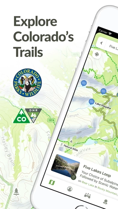
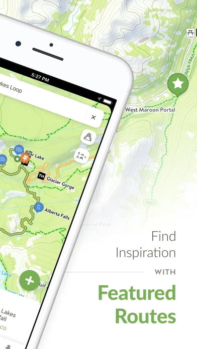
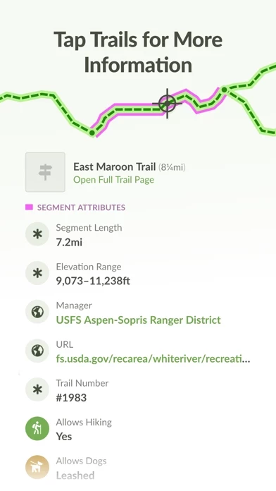
I have used almost every hiking app. This is the best for CO. By tapping the trailhead icon you can get directions, see miles and elevation, see exact weather conditions after scrolling down, (Temp, dew point, wind, windchill, direction of wind, surface wind and gusts, rain, snow, lightening, thunder…). Many other apps limit your trails to THIER configuration. With ColoradoTrailExplorer you can connect trails and make your own, see elevation gain, see dispersed camping areas, easily see water sources, etc. It takes a little bit to see all that ColoradoTrailExplorer can do, just keep clicking and exploring. I rarely use the filter to look for specific types of trails. I just use the map and look for established trails and trails I can connect together on my own. Links take you directly to the trail manager or park service. Some trails are managed by different counties or are in multiple forests/state parks; knowing what jurisdictions you are in comes in handy for emergency communications and/or rules, closures, etc. I have made over 60 trails and keep making more, love ColoradoTrailExplorer!