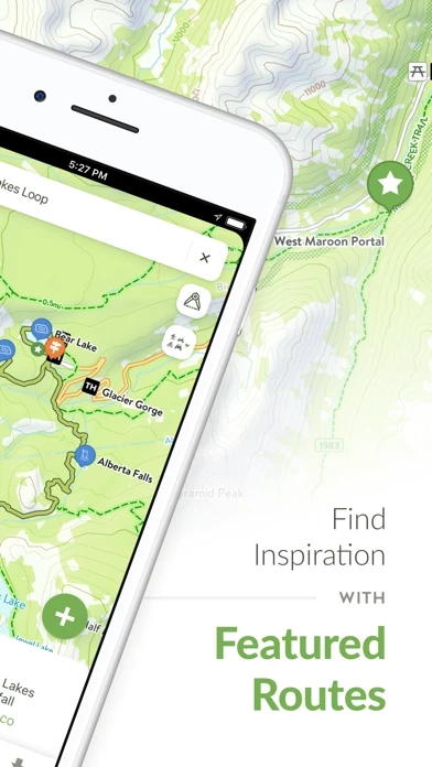
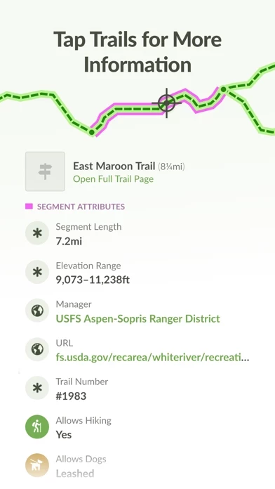
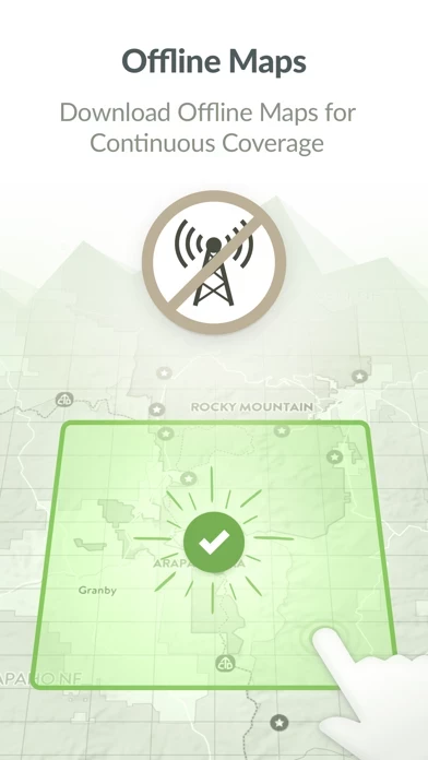
View trails by allowed uses on the map, browse featured routes, download offline maps, record trips and notes in the field, complete challenges to earn badges, and share your experiences with the community.
COTREX connects people, trails, and technology by coordinating the efforts of federal, state, county, and local agencies to create a comprehensive repository of recreational trails for public use.
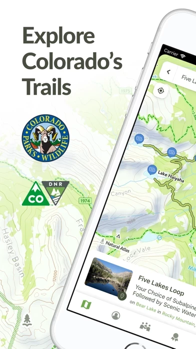
Available for free, COTREX offers the most comprehensive trail map available for the state and is built atop data from over 230 trail managers.
– Inform and inspire the entire COTREX community by sharing your Trips and Field Notes publicly or submitting Trip Reports.
Discover and explore Colorado’s unique trail experiences with the Colorado Trail Explorer.