Pro+ also contains official maps from Alpine Associations as well as premium maps from KOMPASS and certified Premium Routes from KOMPASS, Schall Verlag and the ADAC hiking guides.
Latest vector maps provide accurate information about hiking and cycling trails, protected areas.
The Outdooractive App for iPhone, iPad and AppleWatch is the perfect companion for hiking, cycling and other outdoor activities.
When you record a cycling, hiking, walking or running track you are able to save work outs to Apple Health.
Your iTunes account will be charged to the amount of the subscription fee after your purchase has been confirmed and after the trial period of one month has expired.
You can easily plan and create routes based on your preferences, add text and photos to these, publish them within the Community or share them privately with friends.
The subscription renews annually unless the automatic renewal is deactivated at least 24 hours before the end of the current billing cycle or during the trial period.
Helpful filters and our powerful search functions help you not only find routes, but also sights, accommodation, events and ski resorts.
Our digital summer and winter layers are based on OpenStreetMap and Pro and Pro+ members can also benefit from many other maps.
Your account will be charged for the renewal amount within the 24-hour period before the end of the current billing cycle.
Created in partnership with the German Alpine Association (DAV), the Austrian Alpine Association (ÖAV) and the Alpine Association for South Tyrol (AVS).
Enjoy a high-resolution display of all maps and at all zoom levels thanks to our state-of-the-art vector technology.
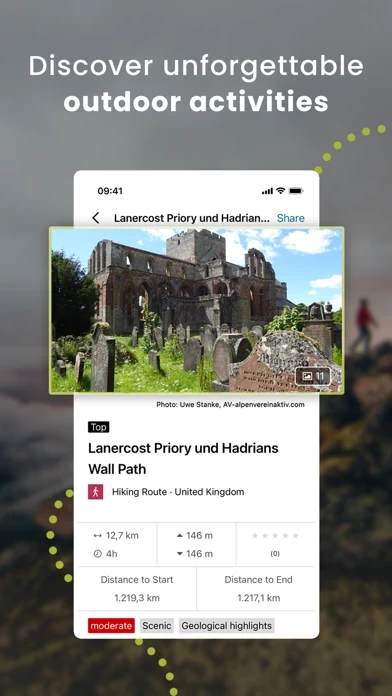
Browse through countless route suggestions for hiking, cycling and ski touring.
The navigation function with speech output lets you navigate comfortably from A to B on all routes.