OpenMaps Overview
This map references the live tiled map service from the OpenStreetMap (OSM) project and other open source map server.
OpenStreetMap (OSM) is an open collaborative project to create a free editable map of the world.
Volunteers gather location data using GPS, local knowledge, and other free sources of information and upload it.
The resulting free map can be viewed and downloaded from the OpenStreetMap server: See that website for additional information about OpenStreetMap.
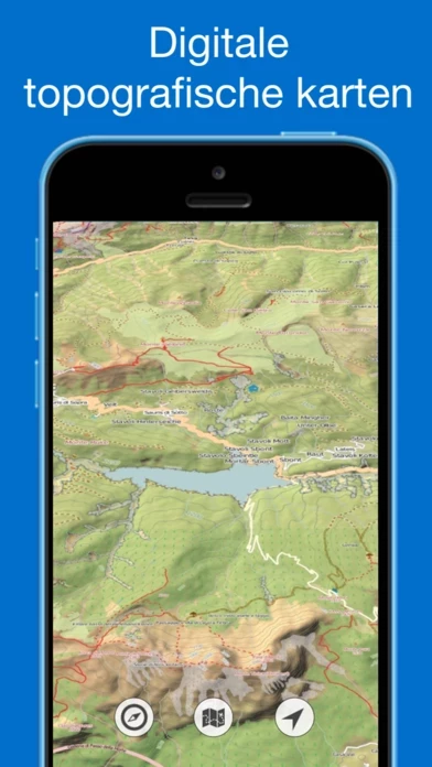
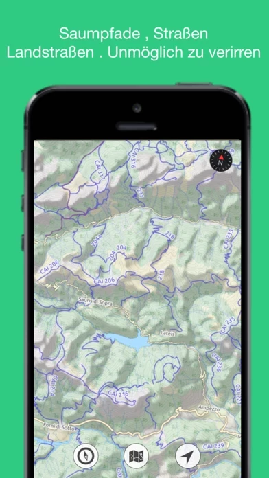
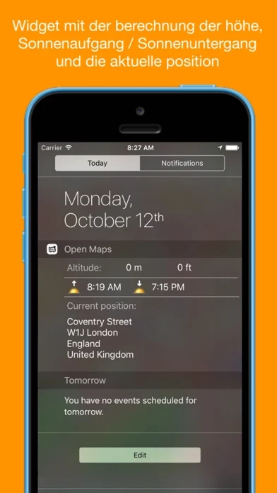
Official Screenshots


Product Details and Description of
Over ten digital topographic maps , designed for hikers , explorers and outdoor activities. You can find all kinds of roads, mule tracks, dirt roads, country roads ... Do you want to plan a day trip but you lack precisely the map of the place ? No problem with this app . You can freely consult a wealth of detailed maps Why use this app: This map references the live tiled map service from the OpenStreetMap (OSM) project and other open source map server. Indispensable for trekkers, mountaineers, mountain bikers, or simple enthusiasts of hiking. What'is OpenStreetMap: OpenStreetMap (OSM) is an open collaborative project to create a free editable map of the world. Volunteers gather location data using GPS, local knowledge, and other free sources of information and upload it. The resulting free map can be viewed and downloaded from the OpenStreetMap server: http://www.OpenStreetMap.org. See that website for additional information about OpenStreetMap. It is made available as a basemap for GIS work in ESRI products under a Creative Commons Attribution-ShareAlike license. With this new version is included today widget with altitude, sunrise sunset calculator and current address.