OS Maps: Walk, Hike, Run, Bike Reviews

OS Maps Reviews

Published by on 2025-02-24

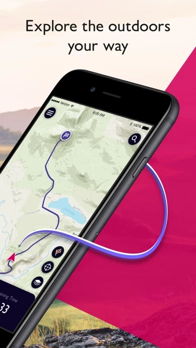
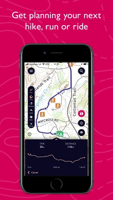
🏷️ About: OS Maps is an app that helps users explore the outdoors safely by providing detailed, up-to-date maps of trails across the USA. The app offers multiple map layers to suit any activity, including topographic and aerial maps. Users can search for the best trails i... Show more


Overall Customer Experience 😎


🤬 Negative experience
69.7%

😎 Positive experience
21.5%

🫥 Neutral
8.8%

~ from Justuseapp.com NLP analysis of 309 combined software reviews.


Summary of Customer Reviews (Takeaways): 💎

Pros

- Can import routes

- Love it for armchair travelers and walkers

- Worked fine when originally installed and upgraded to Premium


Read 14 Customer Service Reviews 😠💢

4.7 out of 5
Major technical issues syncing to iPhone and I Pad

When I originally installed the apps and upgraded to Premium, everything worked fine. I logged out, but could never log back in with my premium subscription, both on the website and on the smart devices. I was finally able to log back on to their website but only by changing my password, which is r... Show more

Just terrible

I downloaded a paper map, checked all was good. Later drove to remote location with no mobile phone to do a hill walk. Opened OSMaps and nothing worked: it had logged me out and refused to show my downloaded map. There I was, in the wilderness, and no electronic map! Thankfully, I brought paper ma... Show more

Fails to retrieve country settings

As of 2022-02-08, my copy can’t allow setting up account—with which to add more detailed maps—because “failed to retrieve country settings.” Blah.

As of 2022-02-13, now won’t even log me in because “failed to retrieve email server,” or soemthing. My email server is working fine. I am suspect... Show more

Quits repeatedly with large custom offline maps

Created a custom map of most of Pembrokeshire (250K) for an upcoming hike. Once it finished downloading, I zoomed in and out, scrolled, etc. It only took a few seconds for OS Maps to quit. I tried again with similar results. A separate custom online map of SE Wales had the same trouble.

I h... Show more

Released with fatal bugs

In July of 2016 I used OSMaps for walks in the Yorkshire Dales. I had planned the trip carefully, researching walk routes on the Internet, and downloaded about a dozen offline maps, a key feature of OSMaps , designed so you can view a map in a wilderness area without data connectivity. The maps s... Show more

Don’t see how to integrate with OS hiking guides

I’m a big user of Ordnance Survey hiking guides, particularly the Pathfinder series, but don’t see a way to integrate these routes into OSMaps .

Am I missing something?

Doesn’t work when connected to the internet

Update. OSMaps works great with no internet connection. Disable mobile data for OSMaps and it works great.

Having purchased paper maps, I’ve used OSMaps to download the off-line version. OSMaps continually requires me to re-login, and I frequently have to re-download, or at least verify... Show more

Not serious about safety

OSMaps developers are pretty casual with their users’ safety. Offline maps are an important safety tool on a hike and if you can’t rely on them being available (or if they’re not available at all zoom levels), it can be a risk to use them on a hike. Given that this is basically a government funded... Show more

Good App, but don’t subscribe in app

Like OSMaps for the rights of
way and download map feature (which worked fine for our trip), but subscribe through the website and not in OSMaps . A one month subscription through OSMaps ran out on the last day of the month (after only 2 weeks) and not after 30 days. The in app subscription al... Show more

Really useful

I got OSMaps just before starting out on a week-long walking holiday and was a little unsure about it as I love paper maps . It was incredibly useful. As we walked in the rain and on top of windy cliffs it was much easier to use OSMaps than do battle with a paper map. It can be used offline so in... Show more

Doesn’t work. Period.

All you get on trying to log in to the iPhone/iPad app is “Unknown error occurred. Please try again.” Really helpful.

I paid for the Premium version so that I could import routes. Just getting the login working on their site was a chore; their domain and session handling seems a mess. And no... Show more

Keep on Trekkin'

We use OS Maps app all across the UK @TrekEpic, love it!!! Can't wait for our next walk!

Lots of fun!

For armchair travelers and walkers too.

Cliff
2022-06-16

Used Viewranger with os maps for many years. Was persuaded to change to OS. Paid the annual sub. What a disaster ! Always crashing wouldn't like my safety to depend on it. Complete rubbish.


Is OS Maps Safe? 🙏

Yes. OS Maps: Walk, Hike, Run, Bike is quiet safe to use but use with caution. This is based on our NLP (Natural language processing) analysis of over 309 User Reviews sourced from the Appstore and the appstore cumulative rating of 4.7/5 . Justuseapp Safety Score for OS Maps Is 23.6/100.

Safety Analysis

82.3% of users say app is Safe 👍
82.3%

15.0% of users have Some Concerns ⚠️
15.0%

2.7% of users say app is Risky 🚨
2.7%


Is OS Maps Legit? 💯

Yes. OS Maps: Walk, Hike, Run, Bike is legit, but not 100% legit to us. This conclusion was arrived at by running over 309 OS Maps: Walk, Hike, Run, Bike User Reviews through our NLP machine learning process to determine if users believe the app is legitimate or not. Based on this, Justuseapp Legitimacy Score for OS Maps Is 33.2/100..

🔏 Privacy & Data Safety

OS Maps collected the following data from you:

  • Data Linked to You:
    • Purchases
    • Location
    • Contact Info
    • User Content
    • Identifiers
    • Usage Data
  • Data Not Linked to You:
    • Identifiers
    • Diagnostics

Payments 💸

**Pricing data is based on average subscription prices reported by Justuseapp.com users..

Pricing Plans Amount (USD)
1 month $4.99
12 months $28.99


How was your experience with OS Maps: Walk, Hike, Run, Bike? Post a Review


Features

- Detailed, up-to-date maps of trails across the USA

- Multiple map layers to suit any activity, including topographic and aerial maps

- Search for the best trails in an area, plot your own trail, and share and record your routes

- Live GPS location tracking and off-course alerts to keep you on track

- Download maps and routes for offline use

- Activity tracking feature and activity history dashboard to track your adventures

- Premium subscription for access to additional features, including 3D aerial mapping and automatic route planning

- Available on desktop and mobile devices

- Unlimited printing of trails and maps

- AR feature for iPhone 6s and later devices

  Contact Support