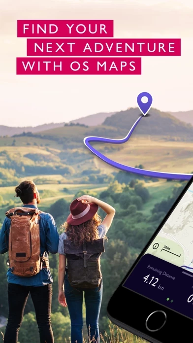
Looking to stay local? Or do you want to venture off the beaten track? Explore Great Britain & Northern Ireland, discover hidden gems & enjoy finding new routes that you never even knew existed.
On desktop, premium users can use our 3D Aerial Layer to see the route terrain, explore in stunning 3D & print maps.
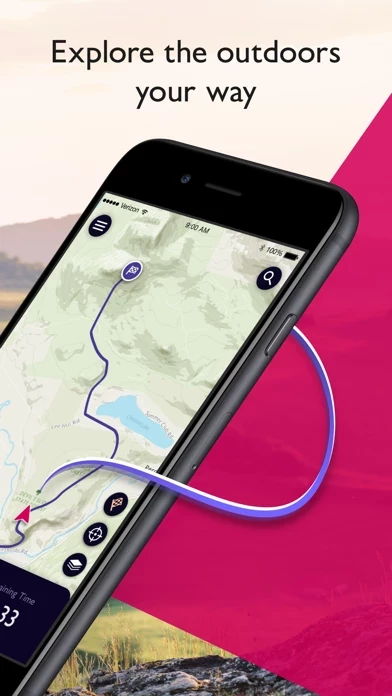
Explore the great outdoors the way you want, all while staying safe with OS Maps - GB’s most popular leisure mapping app.
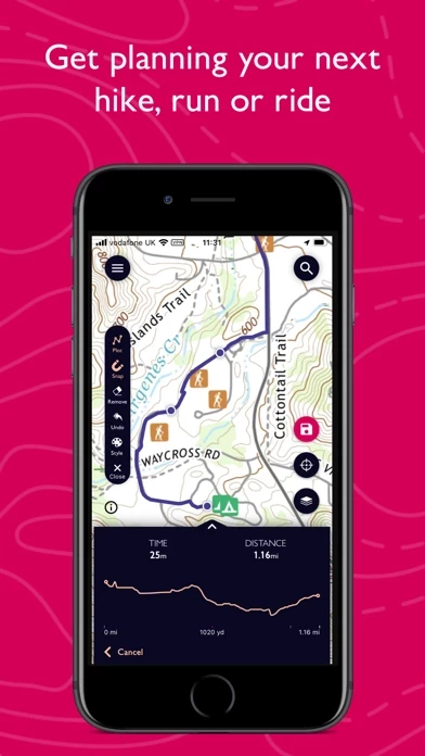
Search for the best routes in an area as rated by fellow outdoor enthusiasts OR plot your own route to follow, share & record.
Use the OS Maps companion app with your Apple Watch, to record your activity from your wrist & keep an eye on your progress whilst keeping your phone in your pocket.
OS Maps was voted Yahoo Sports Technology Awards Best App, Outdoor Industry Awards Digital Product of the Year & Singletrack Best Online Service.
Battery life while using the app can be extended downloading maps offline prior to use, operating in Flight Mode (the GPS will still work) & turning off the screen when not in use.
Subscribe to unlock the detail & accuracy of OS leisure maps across the whole country including OS Explorer 1:25,000 & OS Landranger 1:50,000 maps.
Whether you want to walk, hike, run or ride, OS Maps will guide you through stunning routes across the UK.
Use OS Maps as your off-road sat nav with automatic ‘snap-to-path’ giving you the most enjoyable & safe route between two points in National Parks.
Discover curated routes from expert outdoor organisations such as BBC Countryfile, Country Walking, Mountain Bike UK, Trail, AA Walks & more.
Print copies of routes & maps to take with you so you always have a backup.
And, with one click, find local area information with routes, places to stay & local images.
OS Maps Premium is available through a 1 month or 1 year subscription.