Iphigénie Offline Maps Reviews
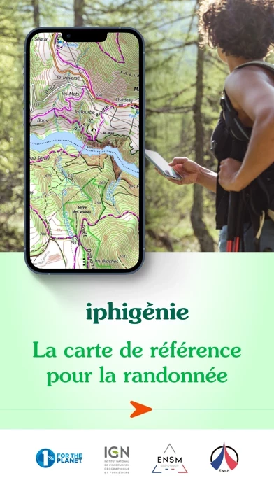
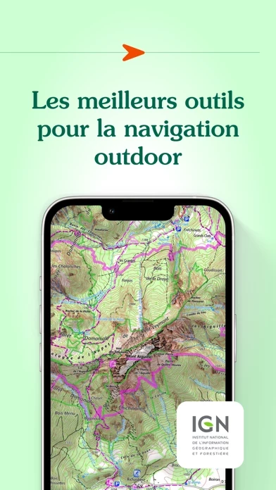
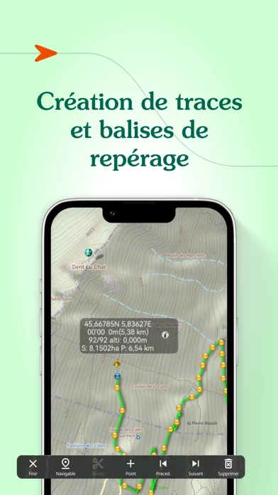
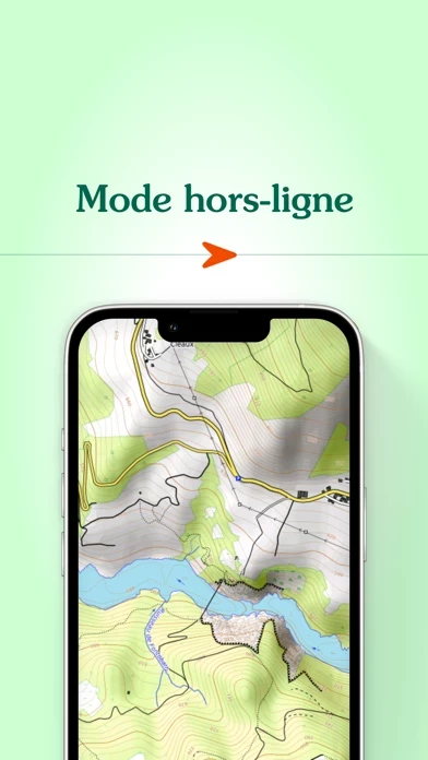
Published by Max Barel on 2026-05-06🏷️ About: Iphigénie is a mapping app that provides access to more than 40 maps worldwide. It offers a variety of tools to prepare, follow, record, archive, and share your outings. The app allows you to download maps for offline access, create, edit, and import GPS tracks, position and import useful markers, follow a GPS track with optional guidance sounds, record your track and position, and export your tracks and markers in GPX format.