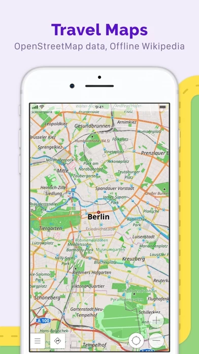
- Map view with a choice of places to be displayed on the map
- Search for places by address, name, coordinates, or category
- Map styles for different activities, including touring view, nautical map, winter and ski, topographic, desert, off-road, and others
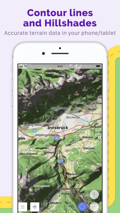
- Shading relief and plug-in contour lines
- Ability to overlay different sources of maps on top of each other
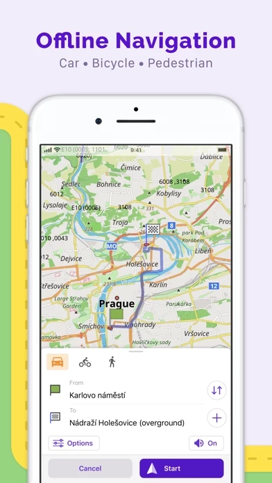
- GPS navigation with customizable navigation profiles for different vehicles
- Ability to change the constructed route, taking into account the exclusion of certain roads or road surfaces
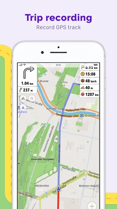
- Customizable information widgets about the route
- Route planning and recording using GPX tracks
- Manage GPX tracks, displaying your own or imported GPX tracks on the map, navigating through them
- Visual data about the route, including descents/ascents and distances
- Ability to share GPX track in OpenStreetMap
- Creation of points with different functionality, including favorites, markers, and audio/video notes
- Making edits to OSM
- Updating maps with a frequency of up to one hour
- Additional features such as Apple CarPlay support, compass and radius ruler, Mapillary interface, night theme, and Wikipedia
- Paid features such as OsmAnd Live (unlimited map downloads, topo data, nautical depths, offline Wikipedia, and hourly map updates) and Region maps (all world maps, Europe, Africa, Antarctica, Asia, North/Central/South America, and Australia)


