Footpath Route Planner Reviews
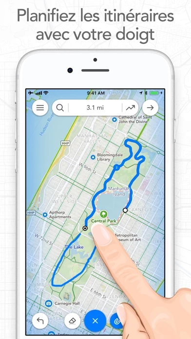
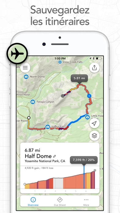
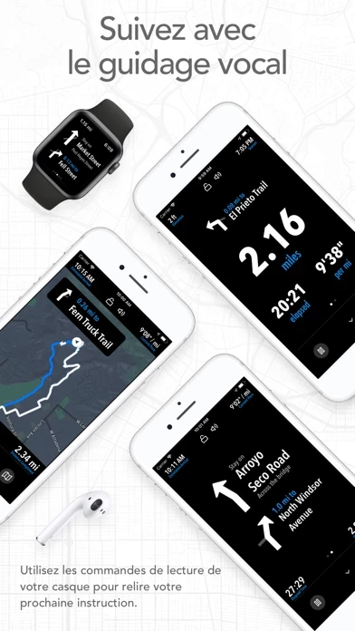
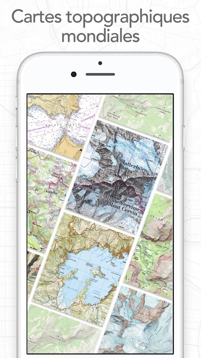
Published by Half Mile Labs LLC on 2025-02-12🏷️ About: Footpath is a route planning and navigation app that allows users to map out custom routes for various activities such as running, cycling, hiking, and more. The app provides features such as distance and elevation measurement, turn-by-turn navigation, and the ability to save and share routes. Users can also upgrade to Footpath Elite for additional features such as premium maps, route organization, and analysis tools.