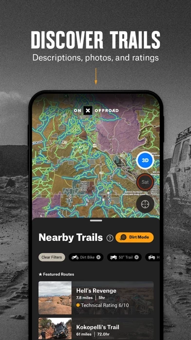
- Filter 615K miles of nationwide trails by accessibility for 4x4, SxS, dirt bikes, moto, ATV/Quads, Overland, and snowmobiles
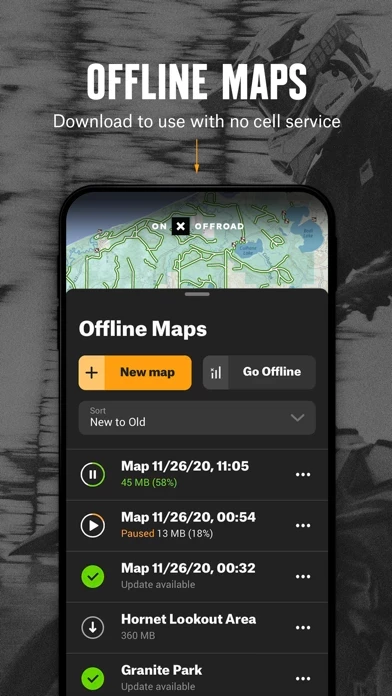
- Navigate offline by saving custom maps to your phone
- Map data sourced from USFS, MVUM, BLM, and NPS, including off-road trails, Public Land boundaries, and recreation points
- Private Land Map Layer (Elite only) with nationwide private property maps and land boundaries, ownership information, and acreage
- Plan, record, save, and share trips with waypoints and tracking features
- Carplay compatibility for hands-free navigation and in-dash viewing of off-road trails and maps
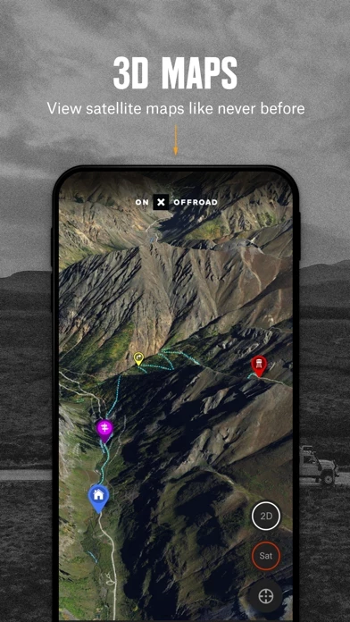
- 24K topographic maps and 3D maps for the entire U.S.
- 550,000 Recreation Icons for points of interest including gas stations, trailer parking, backcountry cabins, swimming and fishing access, hiking and biking trailheads, designated camping areas, hot springs, breweries, and more
- Unlimited offline maps for offline navigation without cell service
- Active and historic wildfire layer to help plan safe adventures
- Localized weather conditions and 7-day weather forecasts
- Line, distance, and area measuring tools
- Coordinates and compass for anywhere you scroll or roll.