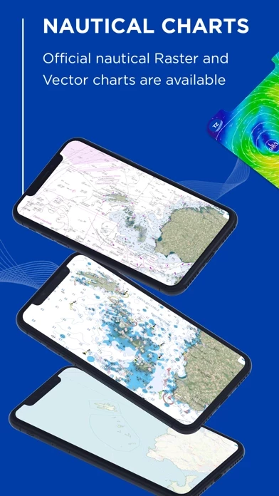
- Official raster and vector nautical charts (worldwide coverage)
- Unlimited GFS weather forecasts + 5 premium models
- 3D view and satellite images
- Routes, marks, and catches in just one tap
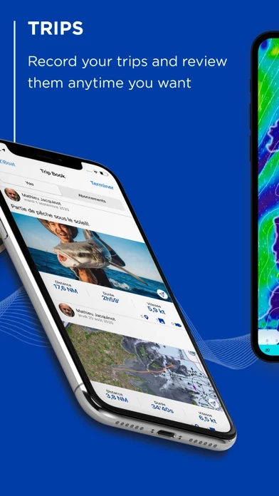
- Track and analyze every aspect of your sea trips, share it & connect with friends
- All your data is accessible online and offline
- Optional radar and AIS modules
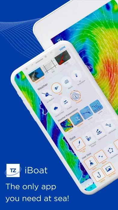
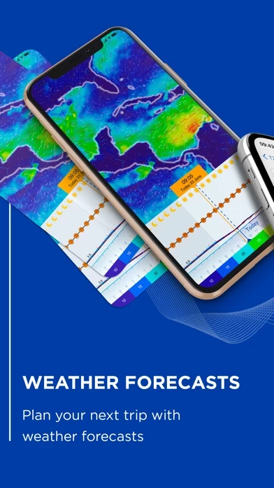
- Advanced weather display: in color, with animated particles, arrows or with labels to visualize wind, wave, current, pressure, cloud and precipitation
- Meteogram: detailed presentation of weather forecasts along the route
- Offline weather: download weather forecasts to be able to use them offline while at sea
- Iridium GO! Compatibility
- Free and unlimited GFS and WW3 weather forecasts
- New Premium Weather subscription gain access to 5 high-resolution models: Arpège, Arome, DWD ICON, NAM Conus, and Copernicus with worldwide coverage
- Event and Catch feature for fishermen to save all their catches (weight, size, and photo) and grow their fishing log that is directly integrated into their nautical chart
- Unmatched usability of its interface with powerful 3D chart engine
- Large community of sailors that trust TZ iBoat for their trips at sea
- Chart and weather subscriptions available with the ability to manage them in the account settings
- Terms of use and privacy policy available on the app's website.