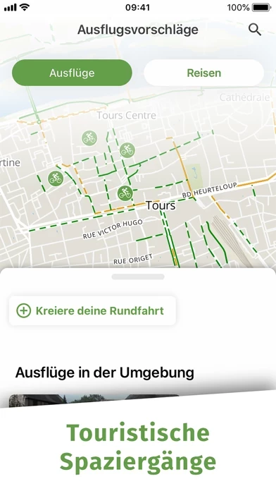
The app also offers French bike-routes (including The Vélodyssée®, Via Rhôna, The Loire à Vélo®, The Canal of the Two Seas Cycling, The Vélo Francette®, The Veloscenie, The Green Avenue London-Paris) and many predefined routes to discover the heritage and its beauty.
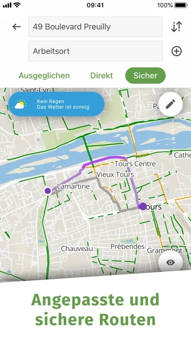
Geovelo chooses, first and foremost, cycleways, bike lanes and low traffic streets to ensure comfort, safety and serenity.
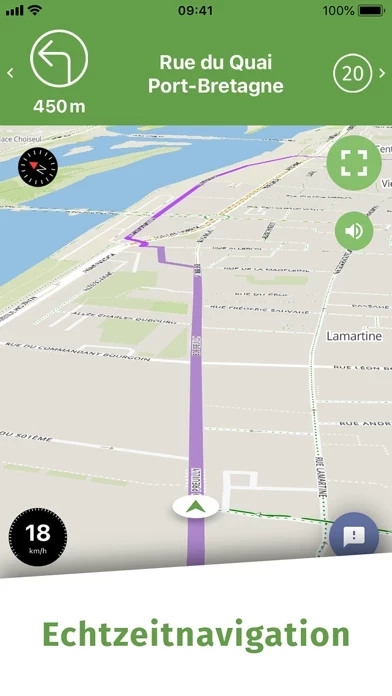
Geovelo provides a complete real-time guidance system : map / full-screen / compass mode, vocal guide, notifications, vibrations.
Report missing bike parkings, cartographic issues or road works, dangerous roads for cyclists and much more in order to help the cycling community.
Geovelo is one of the main French contributors: we collect and correct data on the French territory.


