How to Cancel Aqua Map Boating
Published by GEC s.r.l. on 2024-05-23We have made it super easy to cancel Aqua Map Boating subscription
at the root to avoid any and all mediums "GEC s.r.l." (the developer) uses to bill you.
Complete Guide to Canceling Aqua Map Boating
A few things to note and do before cancelling:
- The developer of Aqua Map Boating is GEC s.r.l. and all inquiries must go to them.
- Check the Terms of Services and/or Privacy policy of GEC s.r.l. to know if they support self-serve subscription cancellation:
- Cancelling a subscription during a free trial may result in losing a free trial account.
- You must always cancel a subscription at least 24 hours before the trial period ends.
How easy is it to cancel or delete Aqua Map Boating?
It is Very Easy to Cancel a Aqua Map Boating subscription. (**Crowdsourced from Aqua Map Boating and Justuseapp users)
If you haven't rated Aqua Map Boating cancellation policy yet, Rate it here →.
Pricing Plans
**Gotten from publicly available data and the appstores.
- Unlimited: $24.99 (one-time purchase)
- $9.99/year (auto-renewable)
Potential Savings
**Pricing data is based on average subscription prices reported by Justuseapp.com users..
| Duration | Amount (USD) |
|---|---|
| Yearly Subscription | $4.99 |
How to Cancel Aqua Map Boating Subscription on iPhone or iPad:
- Open Settings » ~Your name~ » and click "Subscriptions".
- Click the Aqua Map Boating (subscription) you want to review.
- Click Cancel.
How to Cancel Aqua Map Boating Subscription on Android Device:
- Open your Google Play Store app.
- Click on Menu » "Subscriptions".
- Tap on Aqua Map Boating (subscription you wish to cancel)
- Click "Cancel Subscription".
How do I remove my Card from Aqua Map Boating?
Removing card details from Aqua Map Boating if you subscribed directly is very tricky. Very few websites allow you to remove your card details. So you will have to make do with some few tricks before and after subscribing on websites in the future.
Before Signing up or Subscribing:
- Create an account on Justuseapp. signup here →
- Create upto 4 Virtual Debit Cards - this will act as a VPN for you bank account and prevent apps like Aqua Map Boating from billing you to eternity.
- Fund your Justuseapp Cards using your real card.
- Signup on Aqua Map Boating or any other website using your Justuseapp card.
- Cancel the Aqua Map Boating subscription directly from your Justuseapp dashboard.
- To learn more how this all works, Visit here →.
How to Cancel Aqua Map Boating Subscription on a Mac computer:
- Goto your Mac AppStore, Click ~Your name~ (bottom sidebar).
- Click "View Information" and sign in if asked to.
- Scroll down on the next page shown to you until you see the "Subscriptions" tab then click on "Manage".
- Click "Edit" beside the Aqua Map Boating app and then click on "Cancel Subscription".
What to do if you Subscribed directly on Aqua Map Boating's Website:
- Reach out to GEC s.r.l. here »»
- Visit Aqua Map Boating website: Click to visit .
- Login to your account.
- In the menu section, look for any of the following: "Billing", "Subscription", "Payment", "Manage account", "Settings".
- Click the link, then follow the prompts to cancel your subscription.
How to Cancel Aqua Map Boating Subscription on Paypal:
To cancel your Aqua Map Boating subscription on PayPal, do the following:
- Login to www.paypal.com .
- Click "Settings" » "Payments".
- Next, click on "Manage Automatic Payments" in the Automatic Payments dashboard.
- You'll see a list of merchants you've subscribed to. Click on "Aqua Map Boating" or "GEC s.r.l." to cancel.
How to delete Aqua Map Boating account:
- Reach out directly to Aqua Map Boating via Justuseapp. Get all Contact details →
- Send an email to [email protected] Click to email requesting that they delete your account.
Delete Aqua Map Boating from iPhone:
- On your homescreen, Tap and hold Aqua Map Boating until it starts shaking.
- Once it starts to shake, you'll see an X Mark at the top of the app icon.
- Click on that X to delete the Aqua Map Boating app.
Delete Aqua Map Boating from Android:
- Open your GooglePlay app and goto the menu.
- Click "My Apps and Games" » then "Installed".
- Choose Aqua Map Boating, » then click "Uninstall".
Have a Problem with Aqua Map Boating? Report Issue
Leave a comment:
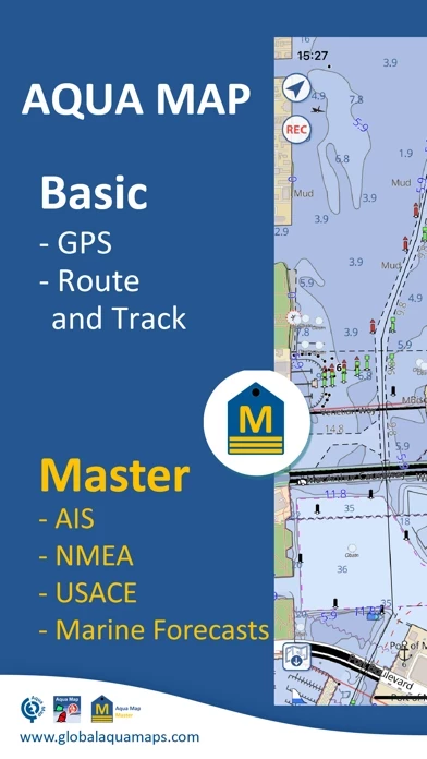
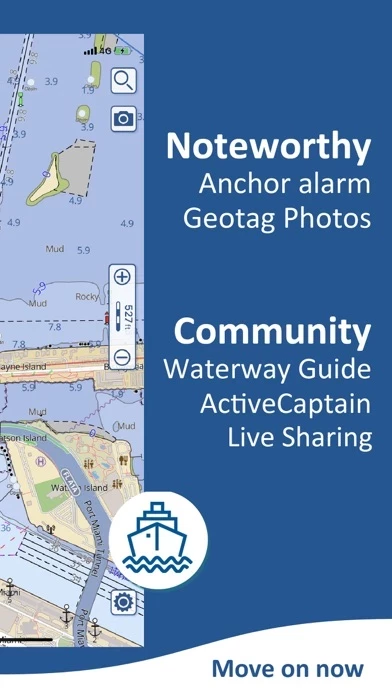
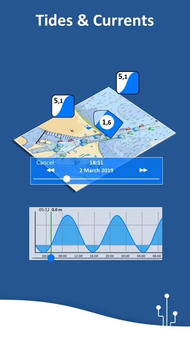
What is Aqua Map Boating?
An app to satisfy all your Fishing and Boating's needs, developed with the help of expert boaters. Download the best up-to-date Nautical Charts to safely enjoy the new boating season. With the Aqua Map Master transform your device in a real ChartPlotter. ►► Features: • Optimised for both iPhone and iPad • Download the charts on the device for offline use • Plan and navigate your Routes and Tracks with real-time information • Anchor alarm with advanced configuration • Tide & Current predictions and simulations (North America & Australia) • Overlay the USACE surveys and USCG List of lights on your charts (only US) • Access the last marine forecasts (wind, waves, currents and weather) • Access more than 1800 Weather buoys to get real time weather condition • Share and load tracks, markers and routes (KMZ and GPX) • Connect to your friends using the Live Sharing function • ActiveCaptain & Waterway Guide community integration • Connect your NMEA devices through WiFi • Display AIS info from external devices with automatic collision detection • Powerful search with advanced settings • Overlay the Satellite images on your map • Fully support Light/Dark aspect • Measure distances on the map • Check all the bridges, hazards and best fuel prices along your route • Works perfectly in iPad multi-screen mode • Optimized battery usage ► MAPS Aqua Map uses only official Nautical charts with depth contours, buoys, lights, etc. to enjoy the best boating experience. You can download the ma...