How to Cancel Avenza Maps
Published by Avenza Systems Inc. on 2023-10-16We have made it super easy to cancel Avenza Maps: Offline Mapping subscription
at the root to avoid any and all mediums "Avenza Systems Inc." (the developer) uses to bill you.
Complete Guide to Canceling Avenza Maps: Offline Mapping
A few things to note and do before cancelling:
- The developer of Avenza Maps is Avenza Systems Inc. and all inquiries must go to them.
- Cancelling a subscription during a free trial may result in losing a free trial account.
- You must always cancel a subscription at least 24 hours before the trial period ends.
Pricing Plans
**Gotten from publicly available data and the appstores.
- Avenza Maps Plus: $29.99 per year
- Avenza Maps Pro: $449.99 per year (required for commercial, academic, government, and professional use)
How to Cancel Avenza Maps: Offline Mapping Subscription on iPhone or iPad:
- Open Settings » ~Your name~ » and click "Subscriptions".
- Click the Avenza Maps (subscription) you want to review.
- Click Cancel.
How to Cancel Avenza Maps: Offline Mapping Subscription on Android Device:
- Open your Google Play Store app.
- Click on Menu » "Subscriptions".
- Tap on Avenza Maps: Offline Mapping (subscription you wish to cancel)
- Click "Cancel Subscription".
How do I remove my Card from Avenza Maps?
Removing card details from Avenza Maps if you subscribed directly is very tricky. Very few websites allow you to remove your card details. So you will have to make do with some few tricks before and after subscribing on websites in the future.
Before Signing up or Subscribing:
- Create an account on Justuseapp. signup here →
- Create upto 4 Virtual Debit Cards - this will act as a VPN for you bank account and prevent apps like Avenza Maps from billing you to eternity.
- Fund your Justuseapp Cards using your real card.
- Signup on Avenza Maps: Offline Mapping or any other website using your Justuseapp card.
- Cancel the Avenza Maps subscription directly from your Justuseapp dashboard.
- To learn more how this all works, Visit here →.
How to Cancel Avenza Maps: Offline Mapping Subscription on a Mac computer:
- Goto your Mac AppStore, Click ~Your name~ (bottom sidebar).
- Click "View Information" and sign in if asked to.
- Scroll down on the next page shown to you until you see the "Subscriptions" tab then click on "Manage".
- Click "Edit" beside the Avenza Maps: Offline Mapping app and then click on "Cancel Subscription".
What to do if you Subscribed directly on Avenza Maps's Website:
- Reach out to Avenza Systems Inc. here »»
- Visit Avenza Maps website: Click to visit .
- Login to your account.
- In the menu section, look for any of the following: "Billing", "Subscription", "Payment", "Manage account", "Settings".
- Click the link, then follow the prompts to cancel your subscription.
How to Cancel Avenza Maps: Offline Mapping Subscription on Paypal:
To cancel your Avenza Maps subscription on PayPal, do the following:
- Login to www.paypal.com .
- Click "Settings" » "Payments".
- Next, click on "Manage Automatic Payments" in the Automatic Payments dashboard.
- You'll see a list of merchants you've subscribed to. Click on "Avenza Maps: Offline Mapping" or "Avenza Systems Inc." to cancel.
How to delete Avenza Maps account:
- Reach out directly to Avenza Maps via Justuseapp. Get all Contact details →
- Send an email to [email protected] Click to email requesting that they delete your account.
Delete Avenza Maps: Offline Mapping from iPhone:
- On your homescreen, Tap and hold Avenza Maps: Offline Mapping until it starts shaking.
- Once it starts to shake, you'll see an X Mark at the top of the app icon.
- Click on that X to delete the Avenza Maps: Offline Mapping app.
Delete Avenza Maps: Offline Mapping from Android:
- Open your GooglePlay app and goto the menu.
- Click "My Apps and Games" » then "Installed".
- Choose Avenza Maps: Offline Mapping, » then click "Uninstall".
Have a Problem with Avenza Maps: Offline Mapping? Report Issue
Leave a comment:
Reviews & Common Issues: 1 Comments
By John H Seward
3 years agoHow do I check my billing info? account renewal date, annual fee ,etc? cant find it on your site
What is Avenza Maps: Offline Mapping?
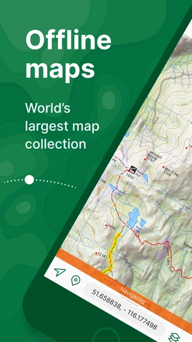
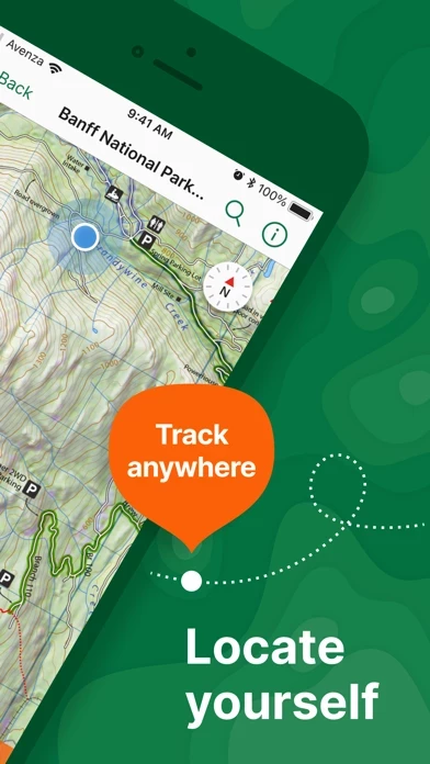
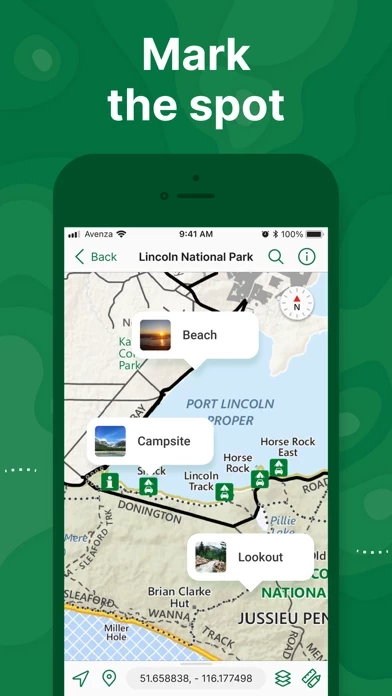
Avenza Maps, #1 app for hiking, biking and all trails. Featuring maps from National Geographic, national parks and more! On your next adventure, stay on track with GPS using offline mobile maps. Make your own maps? Import your custom maps and never get lost off the grid. Explore the largest mobile Map Store of hiking, topographic, cycling, city, nautical, travel, and trail maps. Featuring maps from professional publishers including National Geographic, National Park Service, and the US Forest Service. Discover maps for your next camping, fishing, or backpacking trip with your family and friends. Navigate confidently when off-roading or taking those backcountry trails. Precisely identify your location with what3words and stay safe wherever you are. Avenza Maps is free and the best map app for recreational use. Maps are available for free or purchase from the in-app Map Store. Plus subscription is available for unlimited custom map imports. Pro subscription is available for professional users with full access to all features and mapping tools. Avenza Maps for your offline adventures on all trails! ENHANCE YOUR MAPS WITH THESE FEATURES - Locate your realtime GPS position and find direction, even when offline - Record GPS tracks during your activities - Navigate to features using compass tools - Add photos and notes to any location - Add placemarks to your map and style them with recreational symbols - Measure distances and estimate times - Supports KML, GPX, and CSV Fo...


