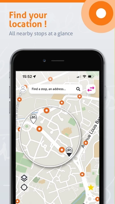
- Interactive map: navigate directly on your smartphone to find bus, underground and tram stops, Toulouse city bike stations, car-pooling spots and all the main points of interest in the Toulouse metropolitan area.
All the services and information you need to travel on the public transport network in the Toulouse metropolitan area.
- Network information and alerts: new lines, new routes, traffic problems or roadworks; keep informed about the latest news concerning the Tisséo network at all times.
Geolocation works within the area covered by the public transport services of the Toulouse conurbation.
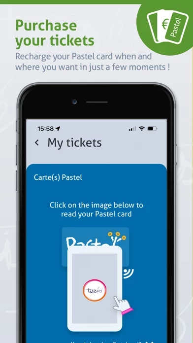
Travel light with the official Tisséo mobile app! Buy your tickets directly via your smartphone and manage your journeys while saving time.
Official public transport app of the Toulouse metropolitan area.
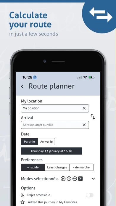
- Journey planner: wondering which is the best route to take? It takes just a few moments to find the fastest and most suitable routes for your journey, either using the map or the form.
- Route map: display the routes of all the lines and stops for a given direction.
- Favourites: save your favourites to find all the information you need for your journeys in one click from the home page.
- Geolocation: save time! By locating your position, you can instantly find stops and points of interest nearby.
Whether you are a regular or occasional user, the Tisséo app will simplify your journeys thanks to its many different features.
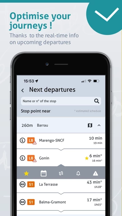
- Next departures: wherever you are, get real-time information about the times of the next departures on the lines you are interested in.
- Line timetables: all departure times for a given line and stop, over several days.
You can also download the timetables directly onto your smartphone to view them even when you are offline.