ORTOVOX ALPINE TOURING APP Reviews
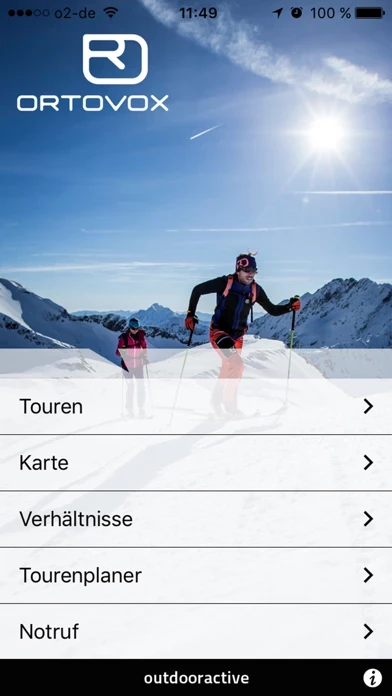
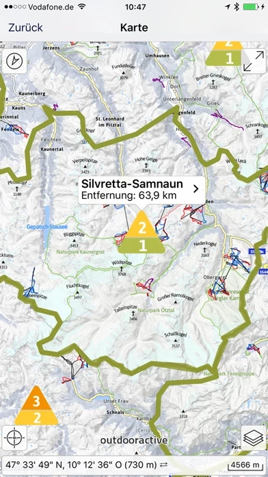
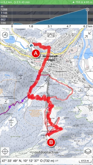
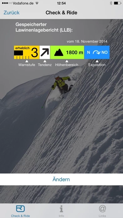
Published by Outdooractive GmbH on 2020-09-23🏷️ About: ORTOVOX ALPINE TOURING APP Jam-packed with countless Alpine tours, topographical maps and lots of tools, the ORTOVOX ALPINE TOURING APP is one of the most successful mountain sports apps of all time! The basis for the app is a zoomable, topographic outdoor map to a scale of 1:25000. The map is available both online and offline, and is presented differently for the Alpine region according to the season.