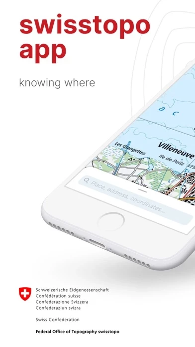
- Access to all scales of national maps from 1:10,000 to 1:1 million
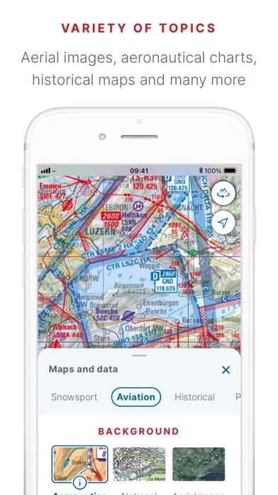
- Current aerial images and historical maps
- Official hiking, mountain hiking, and alpine hiking trails
- Closures of hiking trails
- Snowshoe and ski routes
- SwitzerlandMobility routes
- Public transport stops
- Free offline maps from 1:25,000 to 1:1 million
- Ability to draw, record, import, and share your own tours
- Set tour type (hiking, cycling, mountain biking) and personal pace
- Tour guide with arrival time and remaining distance
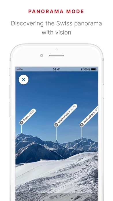
- Panorama mode with labelled panorama and view tour in "3D"
- Ability to save markers, add notes, and share
- Tools such as measure, compare, and search for geographical names, addresses, or coordinates
- Ability to report changes to maps and geodata
- Aeronautical charts, obstacles, and airspaces for aviation enthusiasts
- Landing sites and restrictions for drones and model aircrafts.


