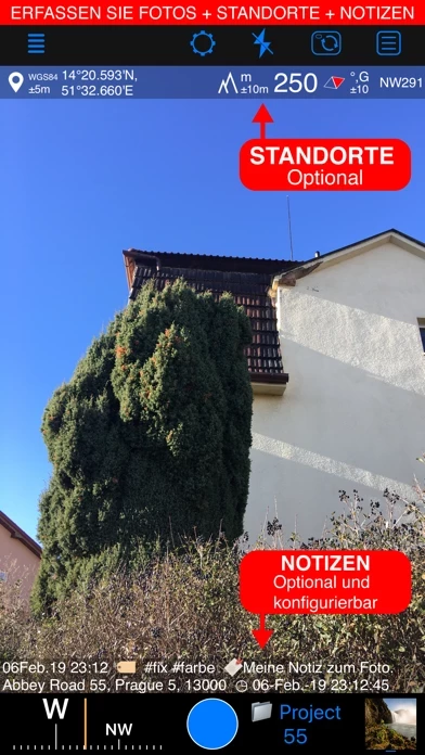
- Capture and stamp photos with location, date, address, and notes
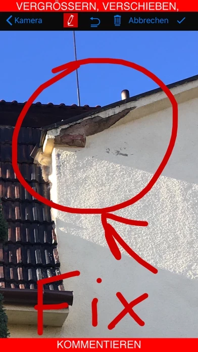
- Add hand-drawn annotations
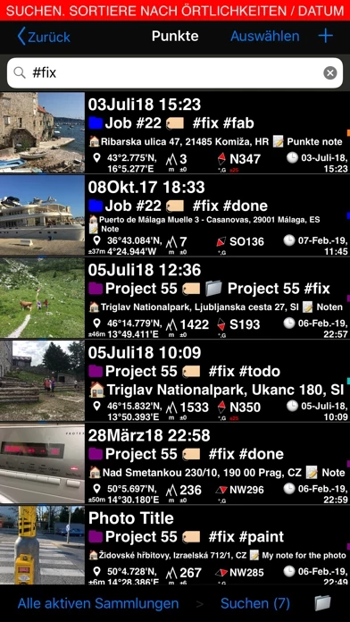
- Search and filter images by title, notes, tags, or sort by proximity and date
- Organize images into collections/folders
- Import existing photos from the photo library to restore their location, direction, and notes
- Supports decimal, dm, or dms coordinates formats as well as UTM and MGRS
- True or magnetic heading in degrees or mils
- Accuracy and altitude in either feet or meters
- Save photo automatically or open it in preview to annotate before saving
- Option to save a copy of the photo to the photo library, either or both original and stamped photo
- Zoom in/out in the photo preview and draw on the image with your finger or Apple pencil
- Notes overlay for the photo supports Title, Note, Tags/Folder, and Address
- Change notes and add more annotations later on
- Add an audio note for the image/point
- Timestamp options include many formats and languages
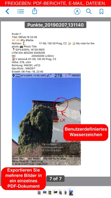
- Pro pack upgrade removes the basic version watermark and allows users to set up a watermark with their own image, text, and colors
- Share multiple points/images or the whole points collection
- Images can be shared with or without their location/notes text and with or without the location/notes overlay
- Transfer points/images in their entirety to another device using the KMZ (Google Earth archive) export format
- Navigate to a point/image
- Review image/point location on a map
- Pro pack upgrade adds additional features such as the ability to create additional point/image collections, export/import capabilities, and extra protection of work and privacy with PIN code or biometric-based access options.


