Caltrans QuickMap Reviews
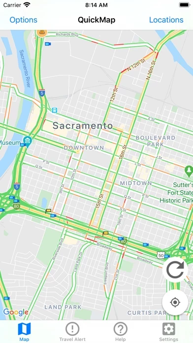
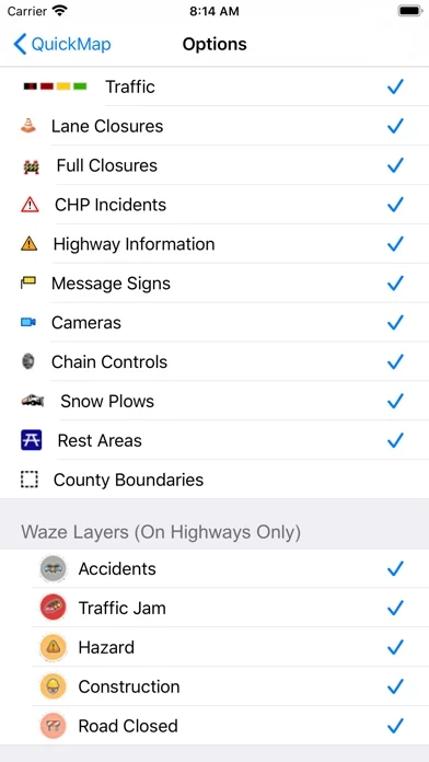
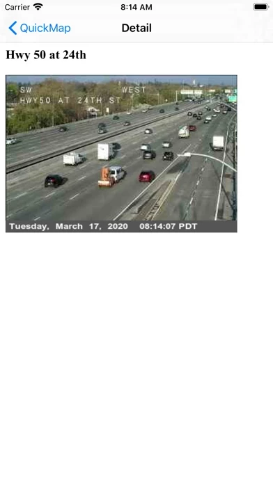
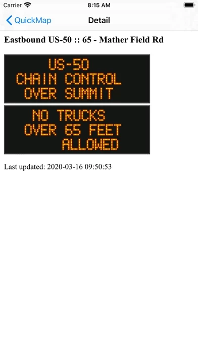
Published by California Department of Transportation on 2024-08-03🏷️ About: The Caltrans QuickMap app provides real-time traffic information to California drivers. It displays a map of the user's location along with various traffic details such as freeway speed, traffic camera snapshots, lane closures, CHP incidents, highway information, changeable message signs, chain controls, snow plows, county boundaries, border wait times, safety roadside rest areas, and Waze data. The app allows users to set their preferences for the information they want to see and provides the latest traffic data every few minutes. Additionally, the app offers geotargeted notifications to alert users of road closures near their location.