Caltrans QuickMap Erfahrungen und Bewertung
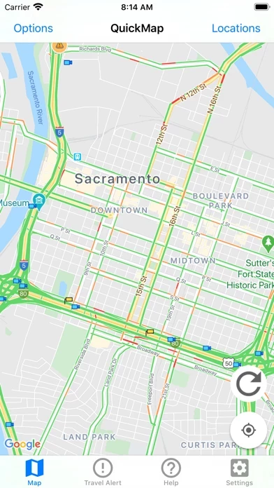
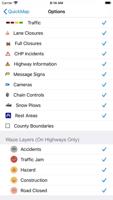
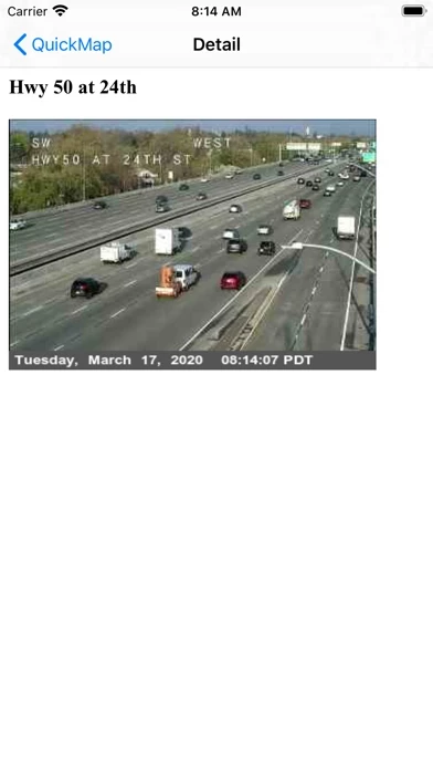
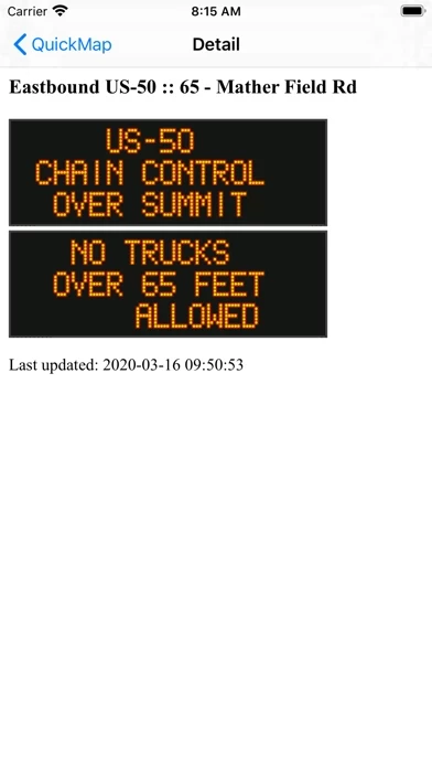
Veröffentlicht von California Department of Transportation on 2026-04-16🏷️ Über: Get your California traffic information directly from the source. The Caltrans QuickMap app displays a map of your location along with real-time traffic information including: - Freeway speed - Traffic camera snapshots - Lane closures - CHP incidents - Highway Information - Changeable message signs - Chain controls - Snow Plows - County Boundaries - Border Wait Times - Safety Roadside Rest Areas - Waze data Set which of these.