Trailforks

Trailforks Software


Company Name:

About: TrailFork is a Food and drinks company.
Headquarters: Boulder, Colorado, United States.

 
  2023-12-18

Trail Overview


What is Trail? Trailforks is a mobile app that serves as a trail database with over 400,000 trails. It allows users to contribute data, which is then curated and approved by local trail associations. The app provides a range of features such as offline trail maps, GPS location tracking, trail routing, trail status updates, and more.


Features


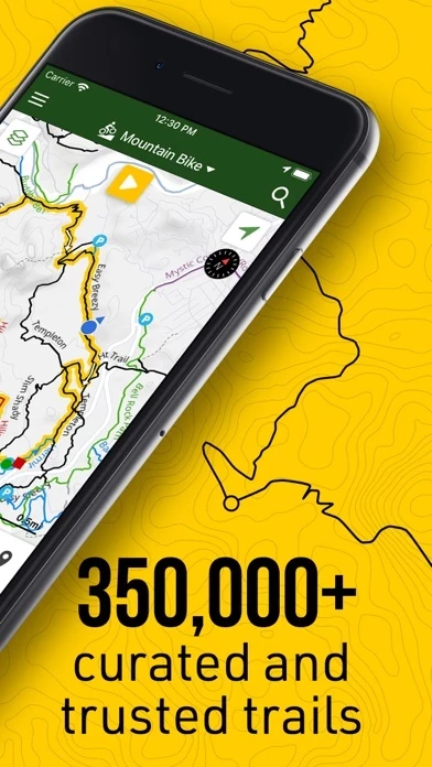
- Largest database of mountain bike trails in the world, including biking-related POIs

- Offline trail maps and information

- GPS location tracking for trail navigation

- Record GPS location during rides to create a track

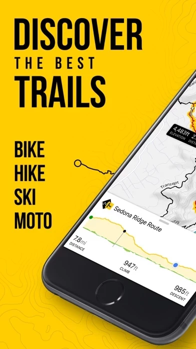
- Display trail and route elevation profiles

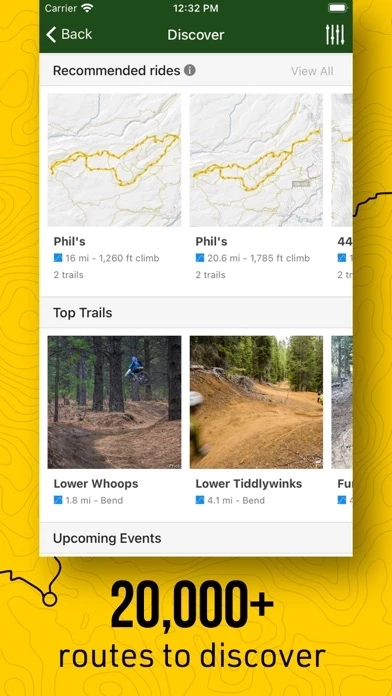
- View local routes created by users

- View trail logs from users to discover new trails

- Automatic trail routing from your location to the trailhead of your choice

- Sync and view saved plans from the Trailforks website

- Follow race course routes with colored stages and checkpoints

- Lookup region and trail information, including photos and videos

- Use phone's compass to orientate the map in the direction you're facing

- View trail status and reports, including closures and conditions

- Submit trail reports and conditions, including photos of trail issues

- Donate "Trail Karma" to support the areas you ride

- View nearby bike shops on the map with quick links for directions or phone calls

- View trails on the map color-coded by popularity

- Mountain biking heatmap

- Custom worldwide topo maps designed for mountain biking with contours.


Official Screenshots


Trail Pricing Plans

Duration Amount (USD)
Billed Once $18.05
Yearly Subscription $35.99

**Pricing data is based on average subscription prices reported by Justuseapp.com users..


Product Details and Description of


this app is a trail database with 400,000 trails. Users can contribute data and then local trail associations have the control to approve & curate the data. App Features: - The largest database of mountain bike trails in the world, including thousands of biking related POI's - Offline trail maps and info. Region updates are incremental and fast - See your GPS location on the map, for trail navigation - Record your GPS location during ride creating a track - Display trail & route elevation profiles and 'scrub' along them to see the location on the map - View local routes that users have created - View trail logs from users and discover how to explore a new trail - Automatic trail routing from your location (or nearest parking lot), to the trailhead of your choosing - Sync and view your saved plans from http://www.this app.com/ridelog/planner/ - Follow race course routes including colored stages and checkpoints - Lookup region & trail info including routes, photos, videos & more - Use your phone’s compass to orientate the map in the direction you’re facing - View trail status & reports! Always be informed of up-to-date trail conditions & closures - Submit trail reports & conditions from the app, including taking photos of trail issues - Support the areas you ride, by donating 'Trail Karma' - View nearby bike shops on the map, quick links for directions or phoning the shop - View trails on map color coded by popularity - Mountain biking heatmap! - View custom worldwide topo maps designed for mountain biking with contours The this app app is your mobile companion to the http://www.this app.com website. It allows you to download offline trail maps for use on your rides! Terms of Use: https://www.this app.com/about/legal/ and https://www.apple.com/legal/internet-services/itunes/dev/stdeula/ Note: Continued use of GPS running in the background can dramatically decrease battery life.


Top Reviews

By Mayfielder

Feature Requests

This is a great application that I use and contribute content to regularly. I have a few suggestions that I think will make the tool even more useful. Bike Maintenance: this app knows how many miles and hours I’m logging on my specific bikes. It would be awesome if I could track my bike maintenance in the app as a simple time stamp, bike and description. When viewing an item on the schedule show the accumulated hours and miles on the associated bike since this time stamp. Winter Trail Reports: More trail conditions specific to winter riding. I suggest: Deep/loose snow, packed snow, ice. Map View OSM layer option: In many riding areas trails have been added to OpenStreetMap but have not been added to this app yet. Being able to view OSM map data in the map view as a layer much like you can in the track editor would be a great way to research new riding areas and perhaps lead to contributed content.

By Max ski

How do they do it?

This is an amazing app. I first installed and used it in Whistler after a rave recommendation from a young gal in a coffee shop. And then had near local- strength intel for the rest of the visit. Then I turned it on before a ride at one of my regular trails in Seattle. It downloaded all of the US trails over the air in seconds, and gave me more route choice options. How do they make money to support their development? I would happily pay for quality like this.

By Scope Enterprise

This Is A Must Have App

I love the pink bike website so I thought that I would try out this app from them. Let me tell you that this app is amazing. I thought that and app could not have as much information as this app has. This app is so amazing that it has features that I did not even think that an app would have. This is an app that I would recommend any cyclist to get. If you are a mountain biker then this is your dream app.


Most Popular Apps in Sports