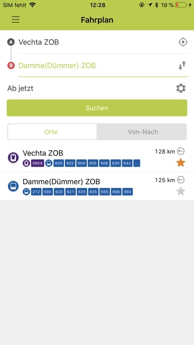
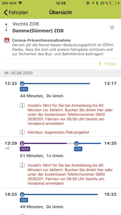
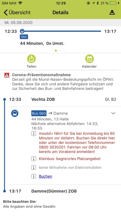
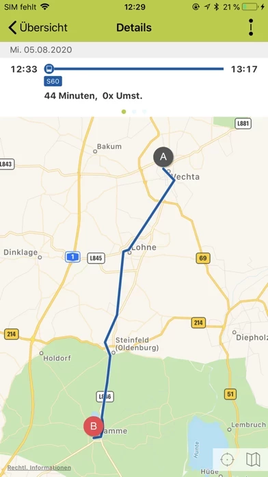
With information about ticket prices, connections, bus stops and train stations as well as maps and route planners, it can guide you safely to the nearest bus stop.
The app informs you when busses and trains depart from your desired bus stop and shows possible delays for many connections in real time.
When does my moobil+bus come? What connections do I have? How do I get to my destination the quickest? You can find the answers to these questions and many more in the new, free moobil+app.
If you don't know where the nearest bus stop is located, simply take a photo of your surroundings with your smartphone camera.
The built in augmented reality function in the app then visualises the nearest bus stop in the picture.
With it, your smartphone becomes a mobile information centre for your individual trips by bus and rail.
After locating your individual position, the app creates a choice of the surrounding bus stops for you with distances.
Additionally, you can save frequently used connections in your calendar for quick retrieval.
You can easily and conveniently choose an address from your contacts as your starting point or destination.
For this, you'll only need to grant the application access to your contact and calendar data.
You'll find all moobil+schedules and all bus and streetcar schedules in the app for all of Lower Saxony.
And itβs even there for rail traffic for all of Germany.
You can change the permission for this at any time in the settings.
That's why we look forward to your suggestions and reviews.