- Supports Apple Watch and provides the latest worldwide data from several sources.
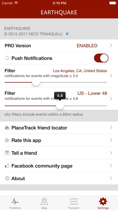
- Rich push notifications on your phone as soon as the event data is available from an official source. You can set up to 4 alerts based on location and/or magnitude threshold.
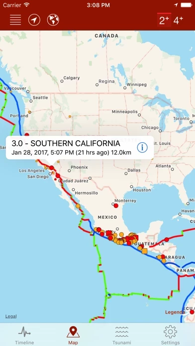
- Map with different sized and colored circles to represent event magnitude and age.
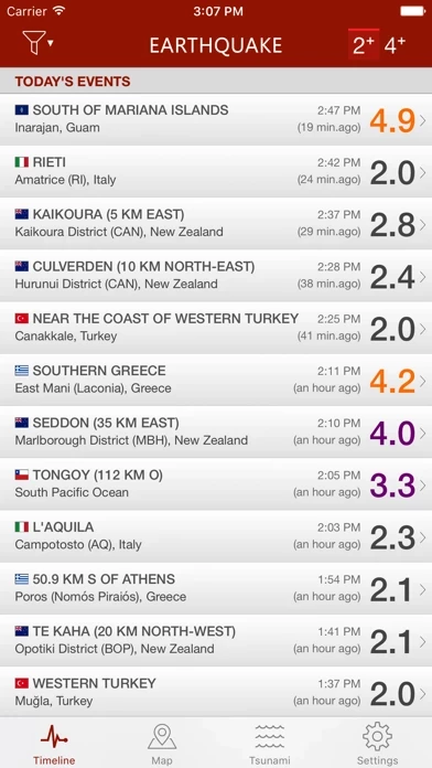
- Filter events by area (country, continent) or magnitude.
- Multiple sources, including U.S. Geological Survey (USGS), European-Mediterranean Seismological Centre (EMSC), GeoScience Australia, GNS Science (GeoNet), Instituto Geográfico Nacional, Servicio Sismológico Nacional, British Geological Survey, GFZ GEOFON, Natural Resources Canada, NOAA.
- Event timeline (today, yesterday, previous days).
- Earthquakes catalog (all world regions covered, back to 2013), search by date, territory, city or reporting agency.
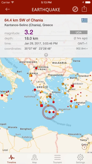
- Detail view for each event, reachable from map and timeline views.
- Tsunami bulletins (NOAA data).
- Tectonic Plate Boundaries (USGS data).
- Population estimates for each event and Population Density layer (SEDAC/NASA data).
- Export data to Google Earth or other installed apps supporting kml file format.
- Social sharing: share event map and data to Facebook, Twitter, Email.
- Reverse geocoding: names of locations, when unavailable, are calculated automatically from their geographical coordinates.
- Widget: the widget briefly shows some details of the biggest seismic event that occurred in your country over the last 24 hours.
- 3D Touch and Haptic feedback support.
- Siri Shortcuts support - "Hey Siri, what are the latest earthquakes in the United States?"
- "Critical Alerts" and "Dark Mode" support.
- Earthquake catalog search by date, city, country, continent and reporting agency.
- Multiple languages: the app is localized in English, Spanish, French, German, Italian, Greek, Russian, Chinese, Dutch, Portuguese, Turkish, Hungarian, Romanian, Korean, Croatian.


