Covered states include Texas, New Mexico, North Dakota, Alabama, Arkansas, Kentucky, California, Colorado, Illinois, Kansas, Louisiana, Mississippi, Montana, Nebraska, Nevada, Oklahoma, Pennsylvania, South Dakota, Utah, Wyoming, West Virginia and Ohio.
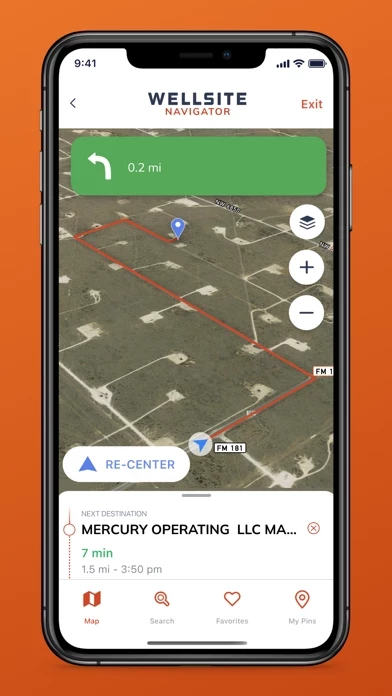
-Weekly Satellite Map Updates: We are the only navigation app that updates its satellite maps every week, so that you can always see & navigate the latest lease roads.
- The subscription allows users to receive monthly data updates and have access to all features and layers.
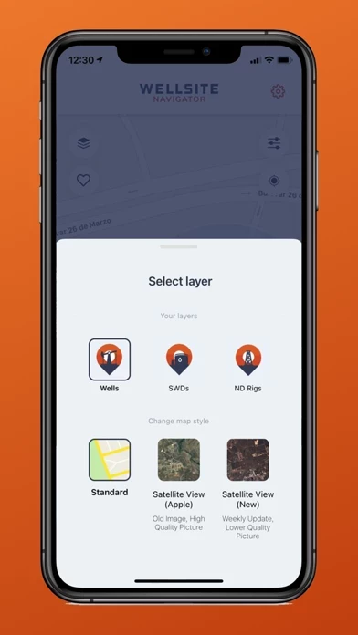
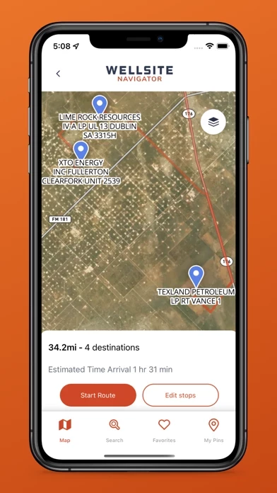
-Dynamic Map: See nearby wells on a map and go from high-level cluster view all the way to individual wells with ability to see and hide wells surrounding a selected well.
-Monthly Well Updates: receive automatic data updates with hundreds of new locations added every month.
-Lease Road Navigation: Our proprietary in-app, turn by turn, lease road navigation will guide you right to the well pad.
Enabling oilfield professionals to easily search, map and navigate to well sites in the United States since 2012.
Wellsite Navigator is the most trusted oilfield navigation app with over 122,000 users across 22 states.
-Cloud Profiles: Create an account and access your app with all your favorites from any device.
-Work offline: work in airplane mode after downloading your data, no need to worry about cell coverage.
- Account will be charged for renewal within 24-hours prior to the end of the current period.
-Favorites: Save well and other points of interest to a list of favorites for quick access.
- Payment will be automatically charged to iTunes account at the end of the free trial, unless cancelled before the end of the trial.
-Advanced Search: Search by lease name, operator, state and API number.