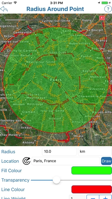
- Radius Around Point tool: plot a distance radius on a map, specify the center point, radius, and other features such as color, and visualize the radius to see the area covered.
- Measure Distance tool: plot a route on a map, find out the distance covered in various units, and use GPS sensor to plot the route automatically.
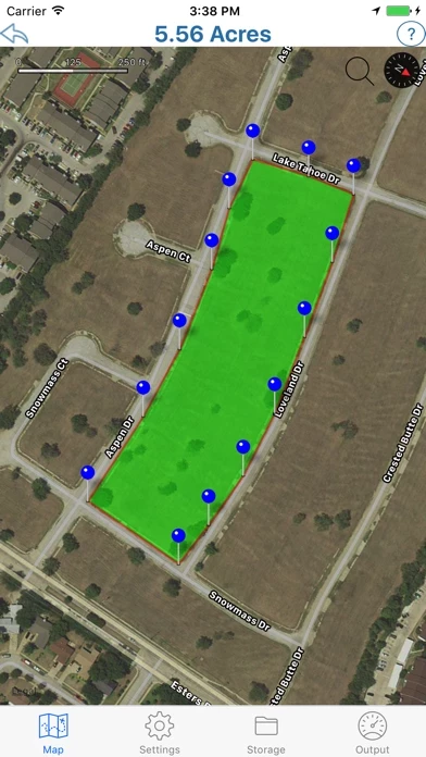
- Area Calculator Tool: draw an area on the map and find the measurement of the area enclosed.
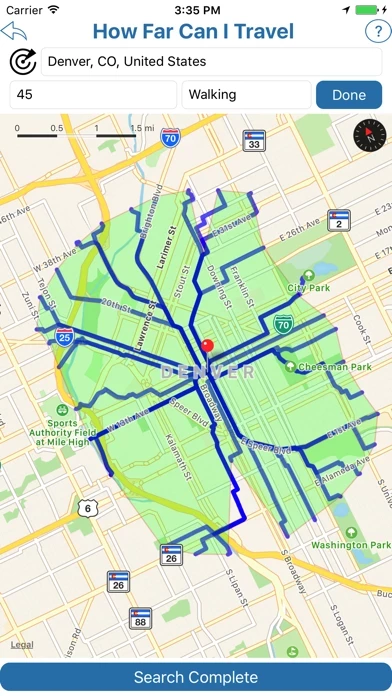
- Find How Far I Can Travel tool: show how far one can drive or walk within a set time.
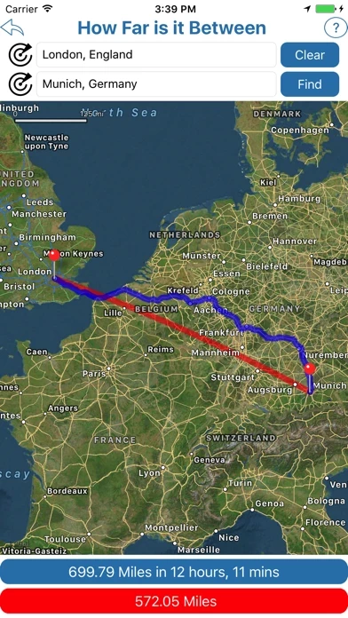
- How Far is it Between tool: find the road and crow-flies distance between 2 addresses and show both routes on the map.
- Map Tunnelling Tool: find out where on the globe your antipodal point is and find the antipode of any custom location.
- Country-specific tools for the USA and UK: use tools such as finding zip/postcodes inside a radius and finding the distance between two zip/postcodes.


