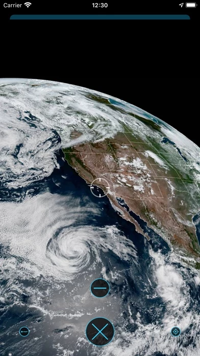
The Earth view shows the last 24 hours of satellite imagery near your current location (the small blue dot is you!) Tap the + button to see a larger version of the latest image.
This view of the sea shows markers for observations collected by the National Data Buoy Center.
This view shows nearby tide stations: tap on any marker to get the current prediction at that location.
The arrow shows wind direction and tapping the marker shows the air temperature, wind speed with gusts, and barometric pressure.
The clock at the bottom shows the current time, or the time for past data samples and future forecasts.