Pin Points Distance Calculator Reviews
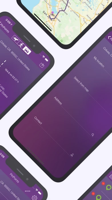
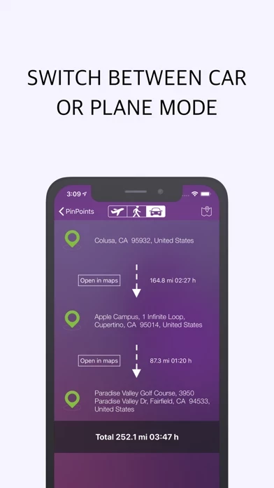
Published by Dennis Donner on 2020-10-12🏷️ About: Do you want to know the distance to the South Pole? Do you want to plan your next trip and do you want to know and save which places you want to visit and how much distance lies in between them? Or are you rather interested in the distance between two cities? Then you are on the absolute right track with this app. PinPoints enables you to measure quickly and easily the distance between two randomly picked points.