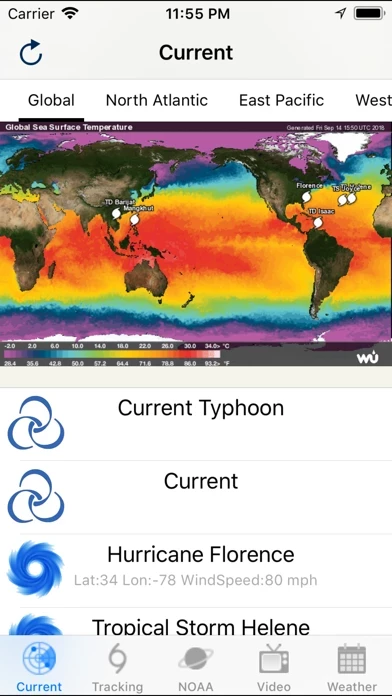
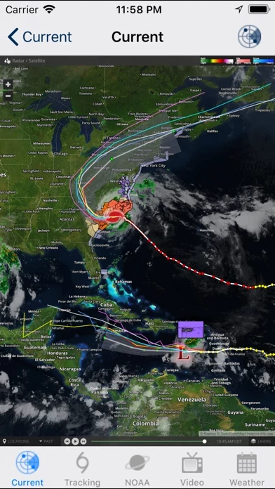
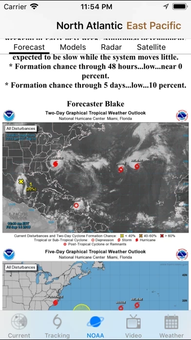
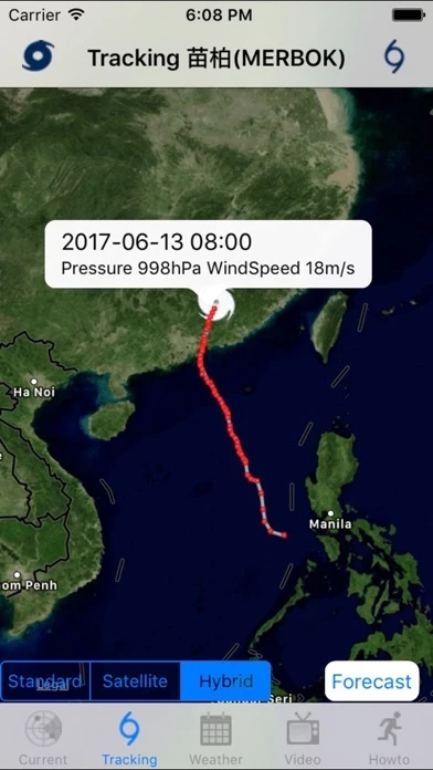
gives you the most up to the minute and reliable hurricane & Typhoon path,Tracking Map,coordinates data,Satellite Images, Computer Models,Warning Information and high resolution Satelite maps... with data provided by 22,000+ trusted or official weather stations all over the world.
* Optional Forecast Model Viewer Add-On: View forecast models (also known as spag models) for active systems on an interactive map complete with panning, zooming, and individual model point information when tapped.
Hurricane & Typhoon Track allows you to keep track of tropical storm ,Typhoon,and hurricane activity in the Global Ocean basins.
Stay informed about the latest tropical systems in the Atlantic,Pacific,Indian Ocean and Caribbean .
Also, you will be able to stay informed on the status of the local and national power grid and surge probability.


