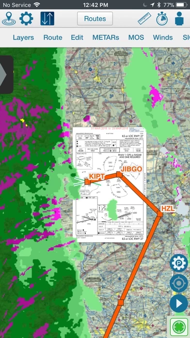
- Integration with FltPlan.com for automatic syncing of flight plans, NavLogs, weight and balance profiles, eLogbook profiles, and checklists
- Ability to create and file flight plans on FltPlan.com or FltPlan Go
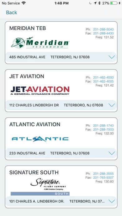
- Access to airport and FBO information, including current fuel prices
- Geo-referenced approach plates and airport diagrams for the US and Canada
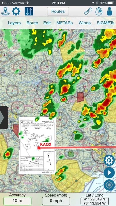
- Weather information, including METARs, TAFs, PIREPs, MOS, and animated weather on the map
- NOTAMs and remarks
- Moving maps with sectionals, enroute charts, and more
- Overlay of approach plates and procedures on the map
- Layers including SUAs, TFRs, state outline, airports, fuel prices, CAP grid, stadiums, and customs
- Course deviation indicator (CDI)
- Creation or import of custom waypoints in KML or CSV format
- NavLogs that automatically sync and download for offline use, with the ability to email or print them
- Weight and balance computations with the option to email them
- eLogbook entries that sync to the eLogbook program
- Checklists that are synced from FltPlan.com for specific aircraft
- Creation of flight-specific binders with documents or procedures, airports, NavLogs, weather briefs, and more
- Aviation calculators
- Access to FltPlan.com
- Compatibility with various avionics, ADS-B, GPS, and simulator systems.


